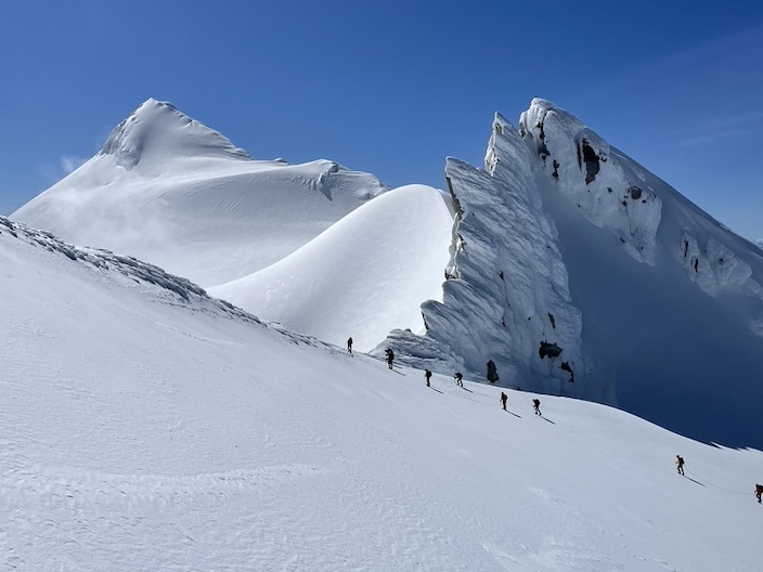
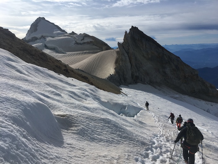
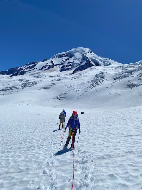
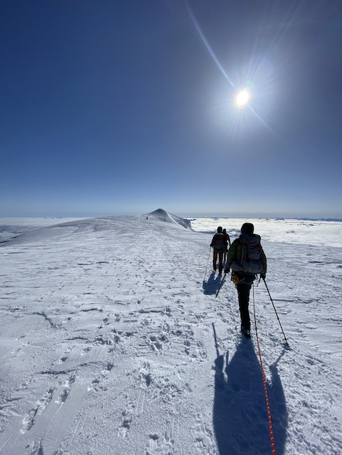
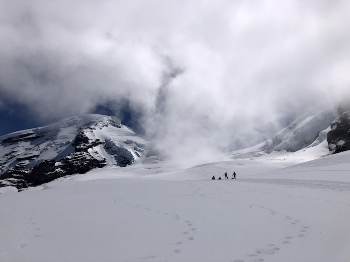
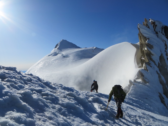
Mt. Baker Skills and Climb Overview A guided climbing team approaches the summit of Mt. Baker. Don Enos
The American Alpine Institute has been consistently guiding Mt. Baker since 1975. AAI guides cumulatively have thousands of ascents of the mountain. In addition to that, our guides have spent countless hours climbing and skiing on the mountain recreationally, volunteering for trailbuilding and clean-up activities, and participating in volunteer mountain rescue activites on Mt. Baker.
We love this mountain. It is at the core of who we are...
Mt. Baker has long been noted as one of the most glaciated peaks in the Lower-48. In addition to the vast glaciers, it is also one of the most beautiful and accessible mountains in the country. A guided ascent of Mt. Baker is an experience of a lifetime.
Groups on this program are kept small (usually three to five climbers with one guide or six to ten climbers with two guides), and throughout the trip you will enjoy a rich learning and climbing experience.
VIDEO
Other Programs on Mt. Baker
If you are training for independent unguided climbs in the future, we recommend the 6-day Alpinism 1 - Introduction to Mountaineering program.
We offer many longer programs that include a Mt. Baker summit climb . But for those who wish to experience a high mountain environment and a classic alpine summit in a shorter period of time, this memborable ascent is perfect for you.
If you lack the prerequisite backpacking experience, you can combine this course with a two-day Introduction to Backpacking program.
Some mountaineers also choose to enhance their glacier navigation skills before or after a climb by combining this program with either the three-hour Backcountry Navigation Essentials class, or the one-day Backcountry Navigation Comprehensive program.
Save
Mt. Baker Skills and Climb Itinerary Day 1 – Rendezvous at the AAI Equipment Shop and Head to Mt. Baker (6400ft/1951m) Plan to meet your fellow climbers, guide, and equipment specialist. Your guide and an equipment specialist will take the time to go over equipment, finalize rentals and purchases, review the itinerary, and ensure everyone is adequately prepared.
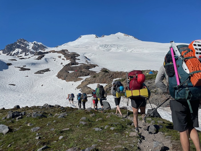
The group then will make the roughly 1 1/2 hour drive up to the glaciers of Mt. Baker. We will hike to basecamp and, once set up, spend the rest of the day on skills.
Curriculum : Gear selection and care. Concepts of glacier travel, glaciation, mountain weather, and geology. We may start on snow skills today if time allows.
Day 2 – Glacier Skills (7000ft/2133m)
We will get an early start today and make our way up, roughly an additional half mile to an appropriate location to practice snow skills. After we wrap up the day we will either hike back down to basecamp for an early night of sleep, or we will pack up camp and move slightly higher on the glacier in order to make the summit push the next day shorter.
Curriculum : practice ice axe and crampon use, glacier travel, rope work, snow anchors, self-arrest, and navigation.
Day 3 – Summit Bid and Hike Out (10,778ft/3285m)
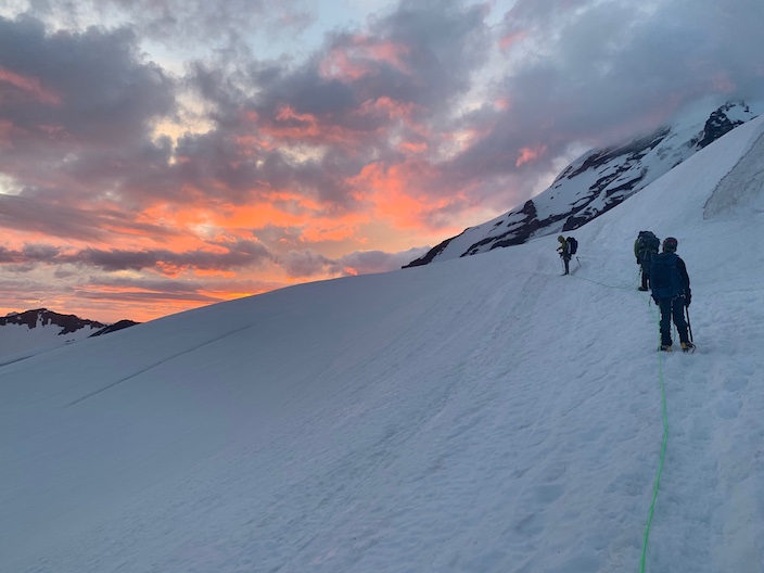
Summit day! Weather and conditions permitting we get an alpine start (typically 1-3am) and head for the summit of Mt. Baker, which is at 10,778 feet. Our goal is to reach the summit by daybreak so we can utilize snow conditions during the night and early morning and be heading down by the time the sun warms the slopes. After our summit bid, we descend to camp, pack up, and head back to the institute. We shoot for getting climbers back to town anywhere between 3-7pm. This can vary a bit based on how the last day of the trip goes.
Curriculum : Summit strategies, route finding, navigation, and hazard assessment.
Day 4 - (Additional Option - final hike out)
For those of you who have selected the additional 4th day, you’ll have time in the morning to do some additional skills training and review before packing up and making your way out on this last day.
Curriculum : Additional snow skills.
Route Descriptions Mount Baker from the Fisher Chimneys route on Mount Shuksan. AAI Collection
South Side Option
The south side of Mt. Baker is dominated by two broad glaciers that connect in the middle. These are the Easton and the Squak glaciers. We will ascend the most obvious line given the time of year (the Easton breaks up as the season progresses and we tend to climb the Squak after mid-July).
Following an equipment check at AAI's headquarters in Bellingham, we will drive approximately 1.5 hours to the trailhead on the south side of the mountain, at 3,200-feet. From there we will make a five mile hike up to a stunning high camp at 6,000-feet.
Ascents of the mountain tend to start in the pre-dawn hours, often between midnight and 3am, to have the most firm climbing conditions. We will ascend a gentle slope for several hours, navigating between crevasses to the crater (9,600-feet), situated between the upper mountain and a satellite peak, Sherman Peak. From there we will be able to look down into the active steam vents below.
The final push up the mountain ascends a 35-degree slope for just under one thousand feet. We crest the summit and make a short jaunt across the flat top of the mountain to the high point at 10,781-feet.
North Side Option
The Coleman-Deming Route is found on the north side of the mountain. This route is also referred to as the Heliotrope Ridge route, as the approach to the glacier follows that geographical feature.
The trailhead on the north side of Mount Baker is at 3,700 feet, and the hike to camp is about 4.5 miles on a nicely maintained hiker's trail.
After a gear check at AAI's headquarters, we drive to the trailhead and hike to a camp below the Coleman Glacier's icefall at approximately 5500 feet. We spend the afternoon of Day 1 and all of Day 2 practicing skills on the glacier and preparing for the summit climb the next morning. Depending on the preference of the guide and climbers, we may choose to establish a high camp on the glacier at 7500 feet, below the "Black Buttes."
Climbing above our high camp, at 9000 feet we gain a col (saddle) between Mount Baker and one of its subsidiary summits, Colfax Peak. Just beyond the col, we move onto the Deming Glacier, which flows down the southwest flank of Mt. Baker. We ascend Pumice Ridge for a few hundred feet to the base of the Roman Wall, which is the last obstacle on the way to Mount Baker's 10,781-foot summit. The Roman Wall is nearly 1000 feet of 35-45 degree snow and ice that rolls over onto the summit ice cap of Mount Baker. The true summit is a few minutes stroll on level ground from the top of the Roman Wall. From the summit the sights are breathtaking, and we will enjoy sweeping views that stretch from the Canadian border peaks in the north, across the islands in the San Juan archipelago to the west, and out to the hundreds of peaks in the Cascades to the south and east.
More Advanced Routes on Mount Baker For climbers with an intermediate to advanced level of skill, we can schedule privately guided climbs of more technical routes on Mount Baker. Here are two classics:
North Ridge (Grade 3+, 2-3 days, 85 degree ice)
A climber enjoying the picturesque N. Ridge of Mt. Baker. Jason Martin
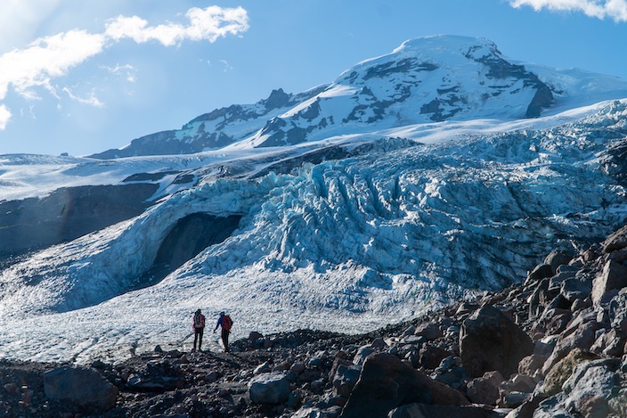
The North Ridge of Mount Baker is among the most classic ice lines of the Cascades volcanoes. The approach itself can include challenging route finding and ice climbing as climbers navigate the wildly crevassed Roosevelt Glacier to access the base of the North Ridge.
Once on the route, we climb 50-degree slopes to the base of the technical crux, three to four pitches of ice climbing that are typically between 65 degrees and vertical. Above the ice pitches we follow the crest of the ridge. From the summit we descend the standard Coleman-Deming route back to camp.
The climbing on the North Ridge is never overly difficult but is constantly and delightfully exposed and provides a big mountain feel.
The Coleman Headwall (Grade 4, 90-degree ice, 2200 feet)
The Coleman Headwall is the largest ice face in the Cascades Range. Rising over 2200 feet from the base of the wall to the top, this route offers climbers an almost unbroken line of steep snow and ice climbing right to Mount Baker's summit ice cap.
The climbing on the headwall is mostly in the 55-degree range, but there can be a number of short, steep sections requiring steep ice climbing technique. Because of this route's committing nature, climbers need to have experience with high angle snow and ice climbing, be very physically fit, and be capable of ice climbing with a pack on.
The Roman Mustache
The Roman Mustache is more of a variation to the standard route rather than a different climbing objective altogether. Below the saddle at 9000 feet, the Mustache route heads to climbers' left and negotiates an icefall before blending into the upper part of the Roman Wall described in the standard route description. This route is a great choice for climbers who are well versed at moderate glacier travel and who would like to spend a little time on steeper, more complex terrain during their ascent of Mount Baker.
Save
