

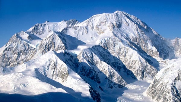


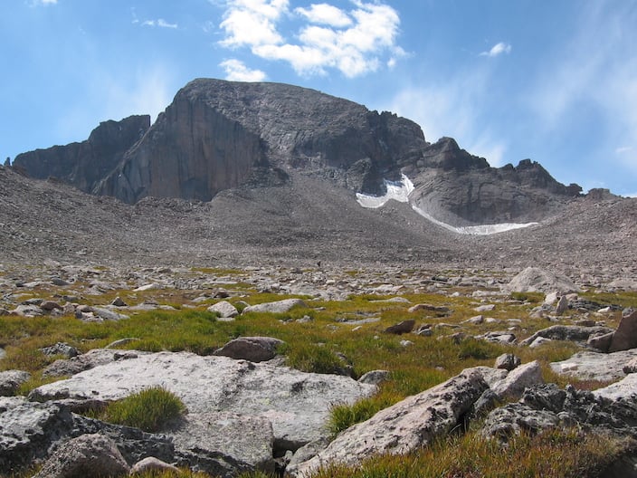


Longs Peak stands as the crown jewel of Rocky Mountain National Park – not only as the highest and most sought-after summit in the park and its only fourteener, but also as the home of many of the Front Range’s best rock climbs. With no true hiking trail to the summit and a long approach hike, Longs poses significant challenges and offers great rewards to those willing to brave its rigors, whether climbing with a professional guide or independently.
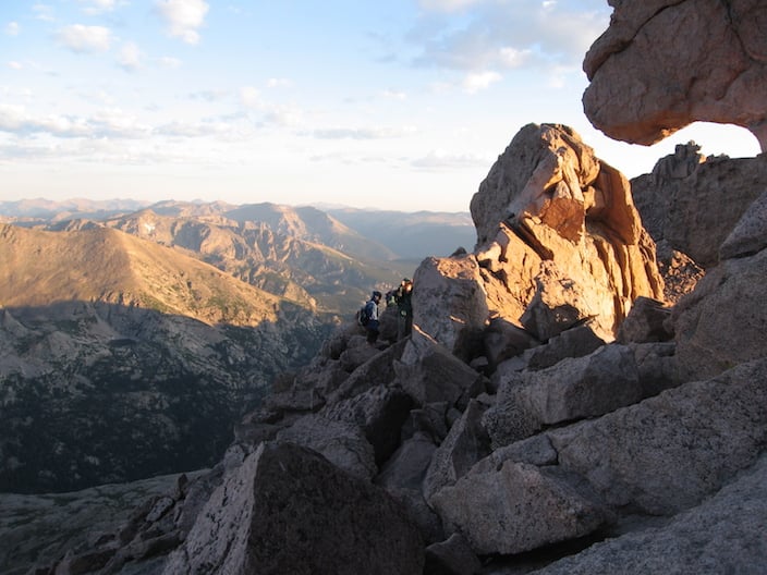
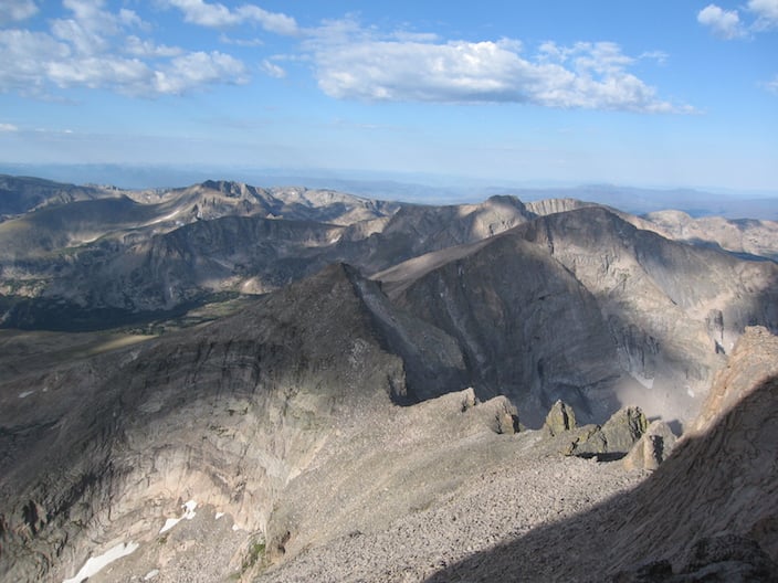
From the summit, Longs offers commanding 360-degree views stretching to the great plains of eastern Colorado, the glacier-scoured Front Range, the 13,000-foot-plus Indian Peaks just to the south of the park boundary and, to the west, the headwaters of the Colorado River. With more than 9,000 feet of elevation above the plain, Longs Peak offers a view of stunning variety and grandeur.
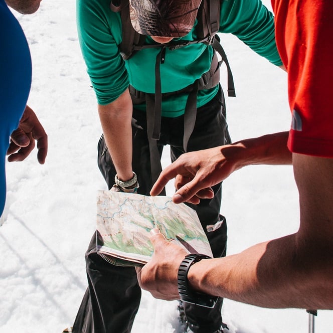
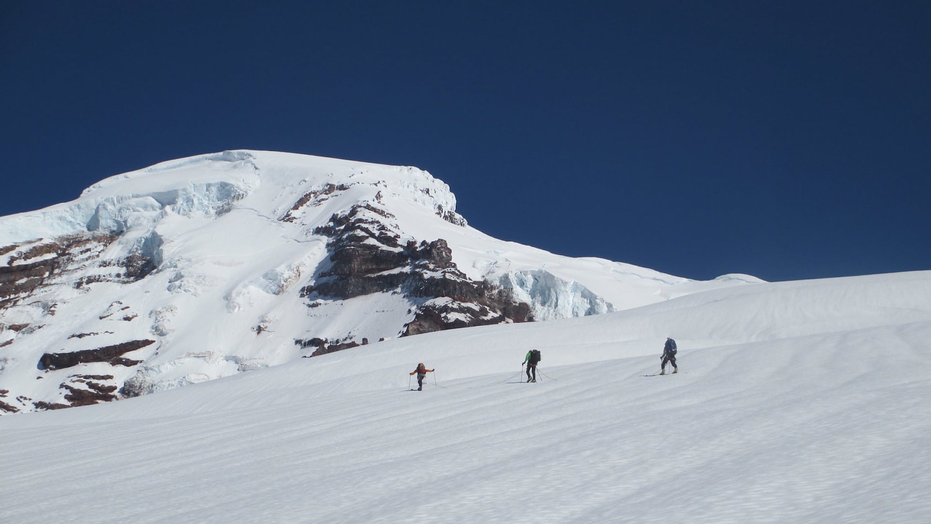
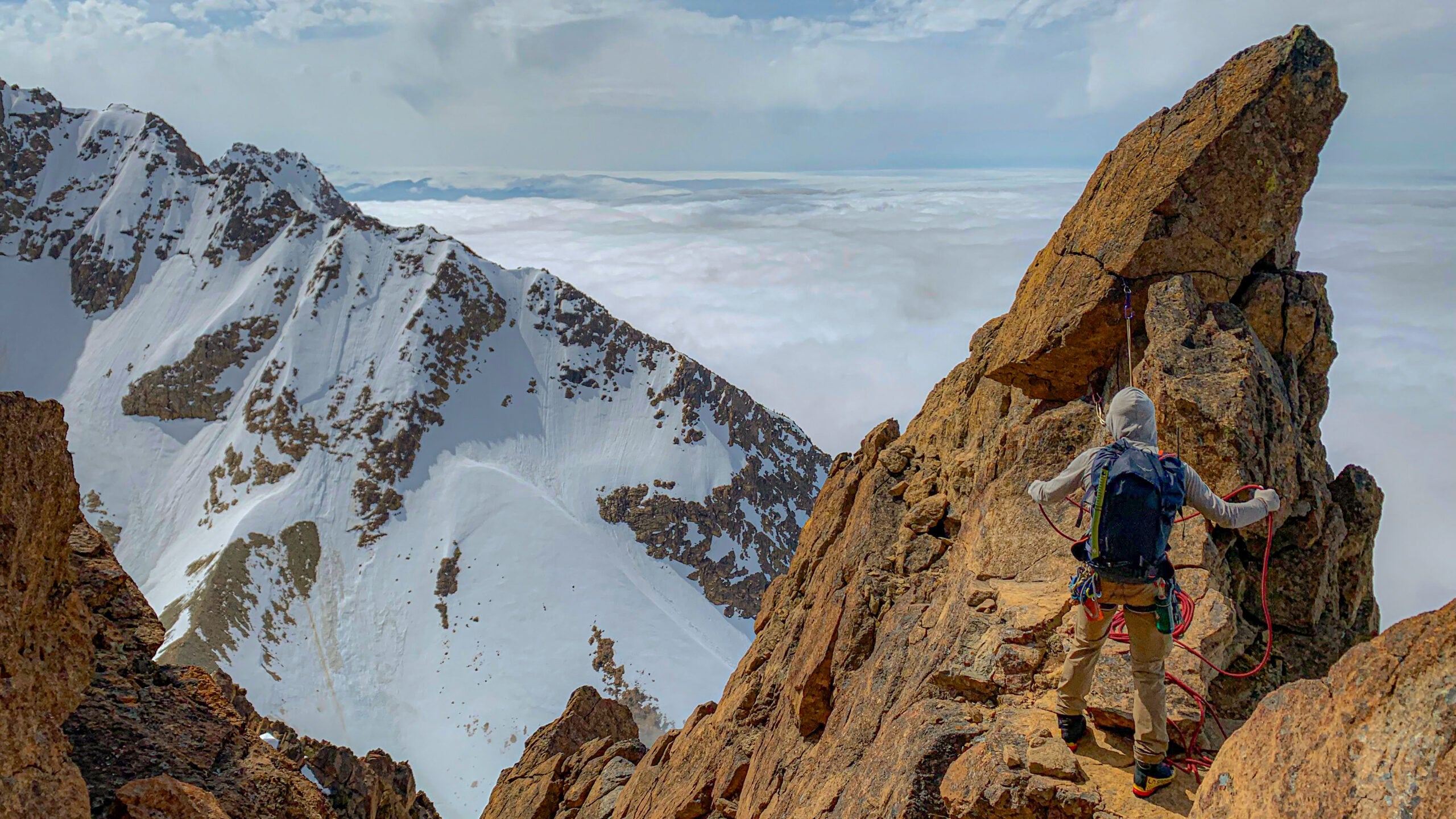
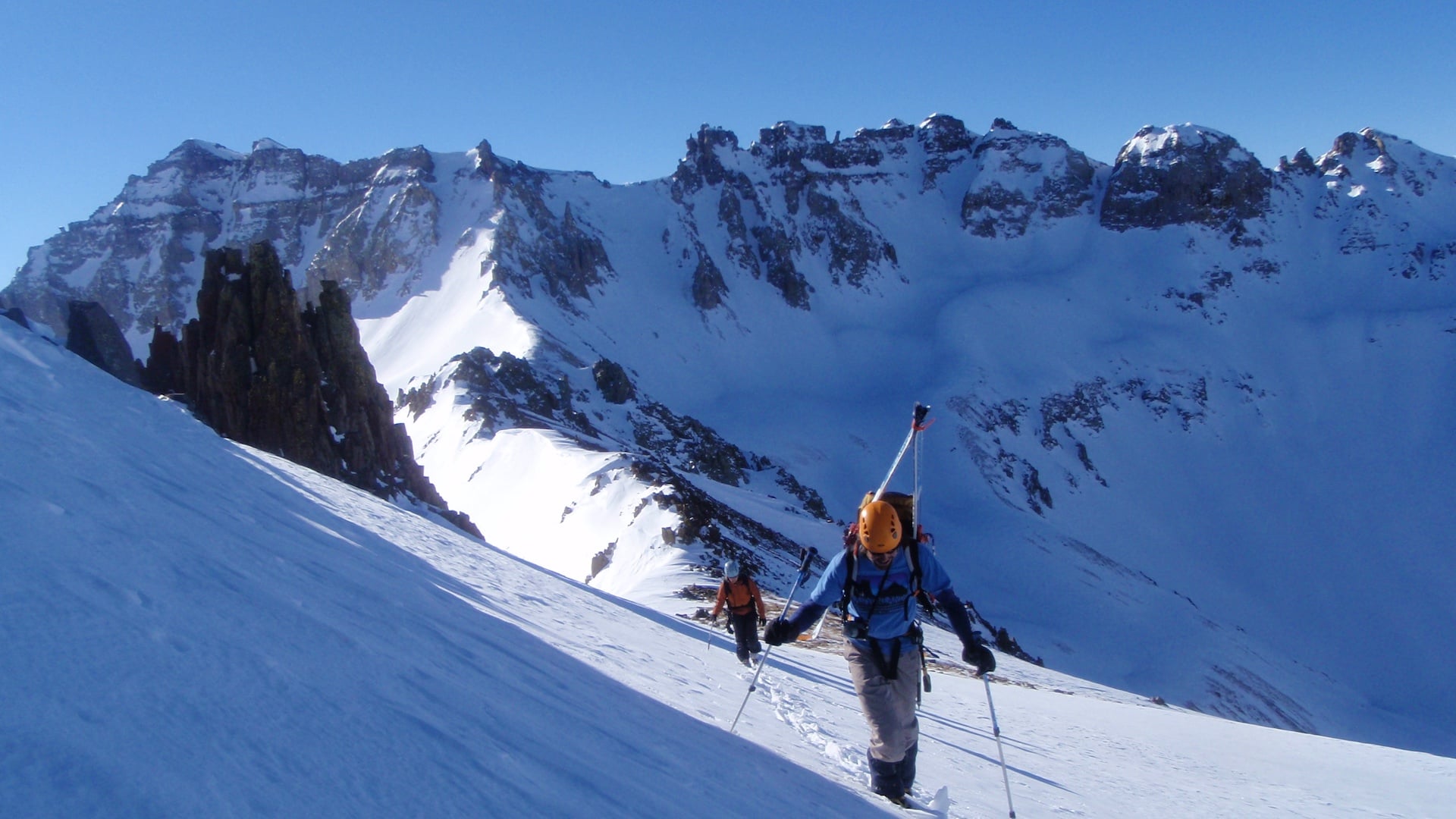
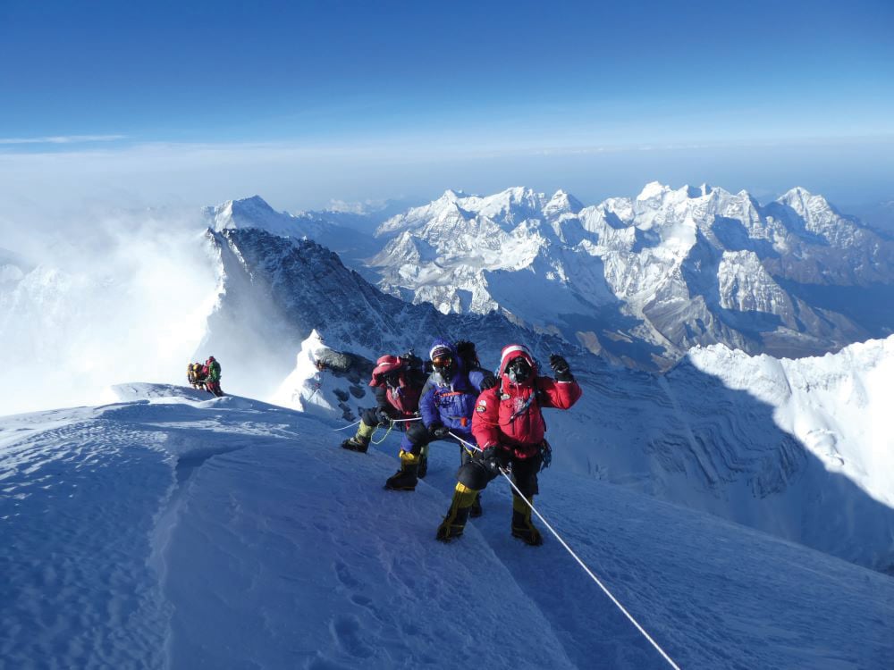
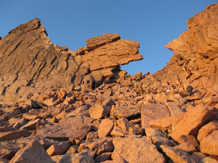
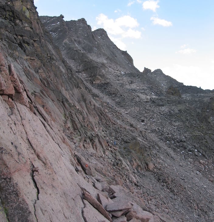
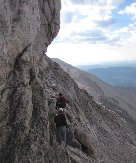
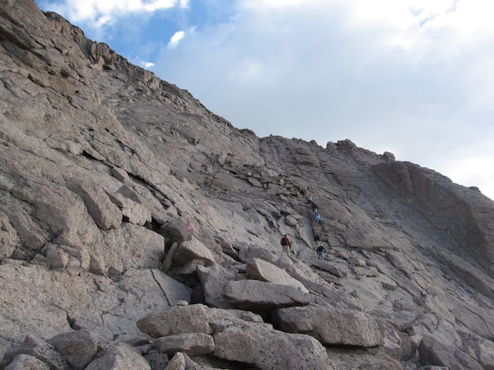
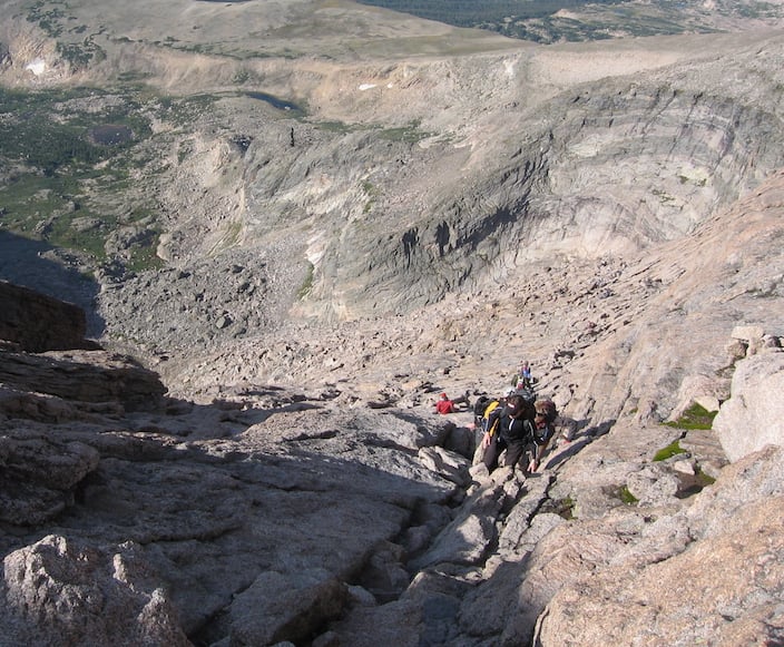
The northernmost of Colorado’s fourteeners and one of the most accessible to the Denver area, Longs Peak is one of the more difficult of these peaks to climb, owing to challenging route finding, semi-technical and high-consequence scrambling, and the length of the approach trail. In addition to the inherent difficulties of the climb, regular thunderstorms and other unpredictable weather in the high peaks can rapidly turn any hike or scramble into an arduous adventure, bringing snow or hail, lightning, rain-slicked rock, and low visibility. Though many climbers do summit the mountain every year without ropes using the famous Keyhole Route, many others choose to join a guided ascent of the route in order to reduce the risks.
American Alpine Institute offers a 2-day guided ascent of the route. While a single day might be sufficient for a local who is acclimatized to the mile-high Denver area, climbers will appreciate a 2-day climb so they can bivouac high on the mountain and begin the climbing route fresh before first light.
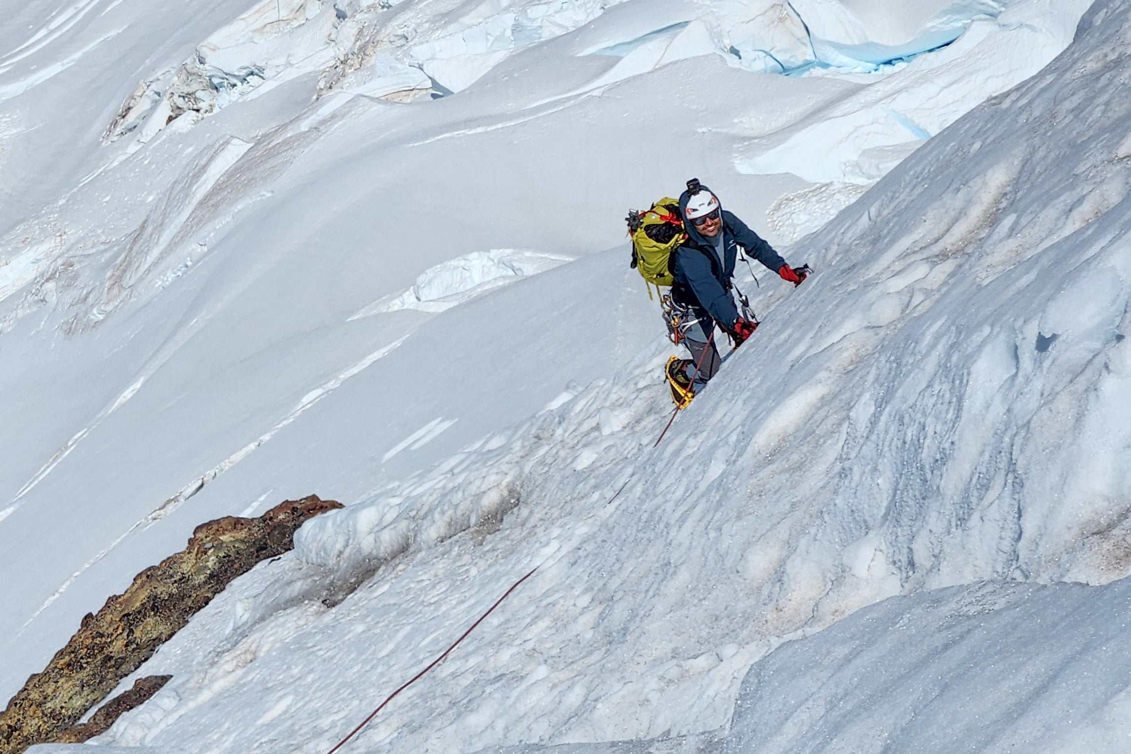
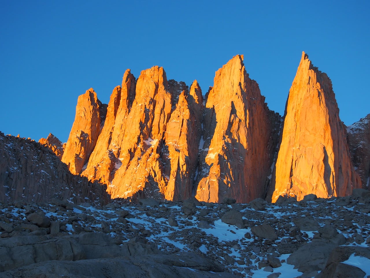
The Institute also offers technical rock climbs on Longs Peak, including the classic North Face Cables Route and expert routes on the Diamond.
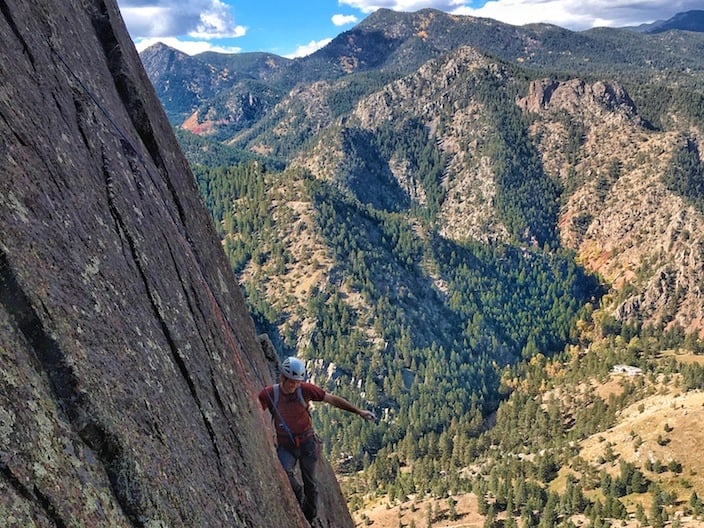
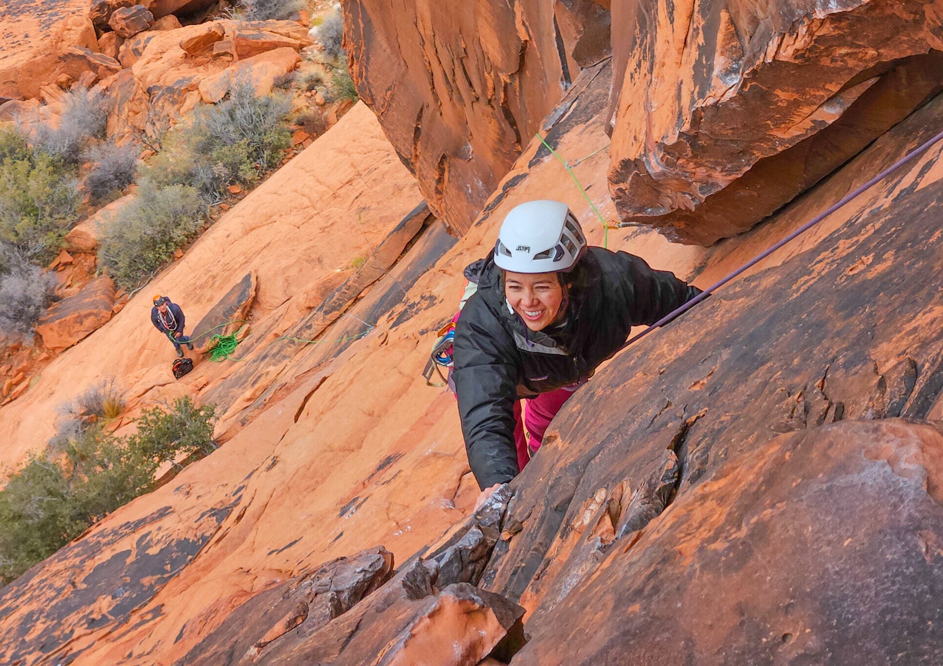
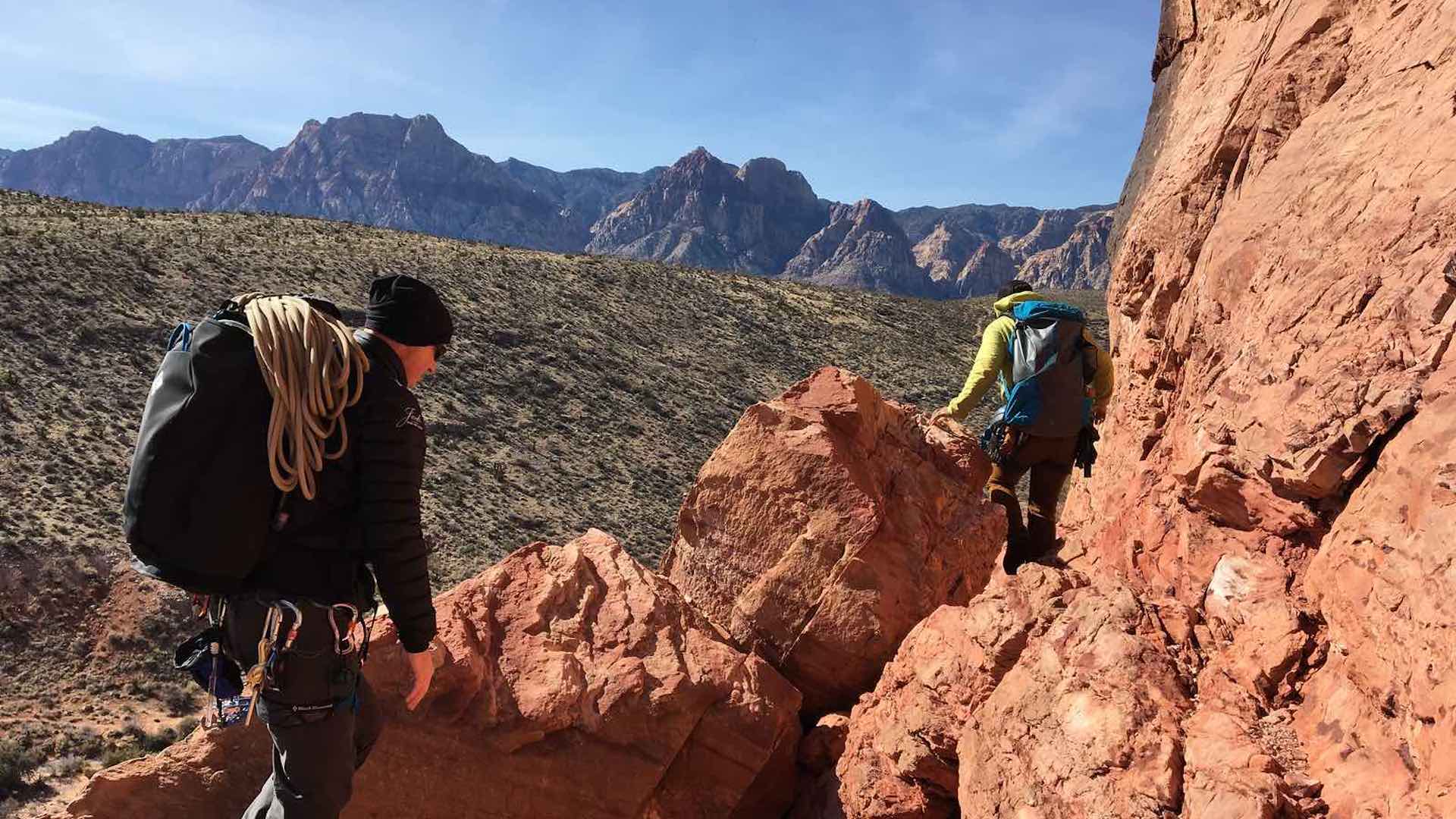
For those who would like to hire a guide for instruction or guided rock climbing in Boulder, we offer both group courses and private climbs in Eldorado Canyon, the Flatirons, and other locations within the City of Boulder.