


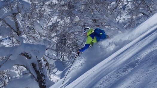


Spring skiing often brings those characteristic “sluff” trails we see on sunny aspects. While they might look like harmless “snow snakes,” point release wet loose avalanches are a primary indicator that the snowpack is reaching its limit.
Here is a deeper dive into why these slides happen and when you should start worrying.
What is a Point Release Wet Loose Slide?
A wet loose avalanche occurs when the bond between snow grains is destroyed by liquid water. Unlike “slab” avalanches, which involve a cohesive layer of snow sliding all at once, these start from a single point—often a rock, a tree trunk, or your own skis—and fan out as they move downhill.

The Mechanics of “The Fan”
- The Trigger: As the sun warms the surface, or rain falls, liquid water percolates through the snow. This acts as a lubricant and adds significant weight.
- The Progression: A small amount of snow loses its grip and begins to tumble. As it moves, it picks up more wet, heavy snow, creating a triangular path.
- The Indicator: Seeing these is a “red flag.” It tells you the surface snow is becoming isothermal (reaching 0°C) and losing its structural integrity.
When “Not Dangerous” Becomes Deadly
As you noted, these are often small, but their danger level scales rapidly based on three factors:
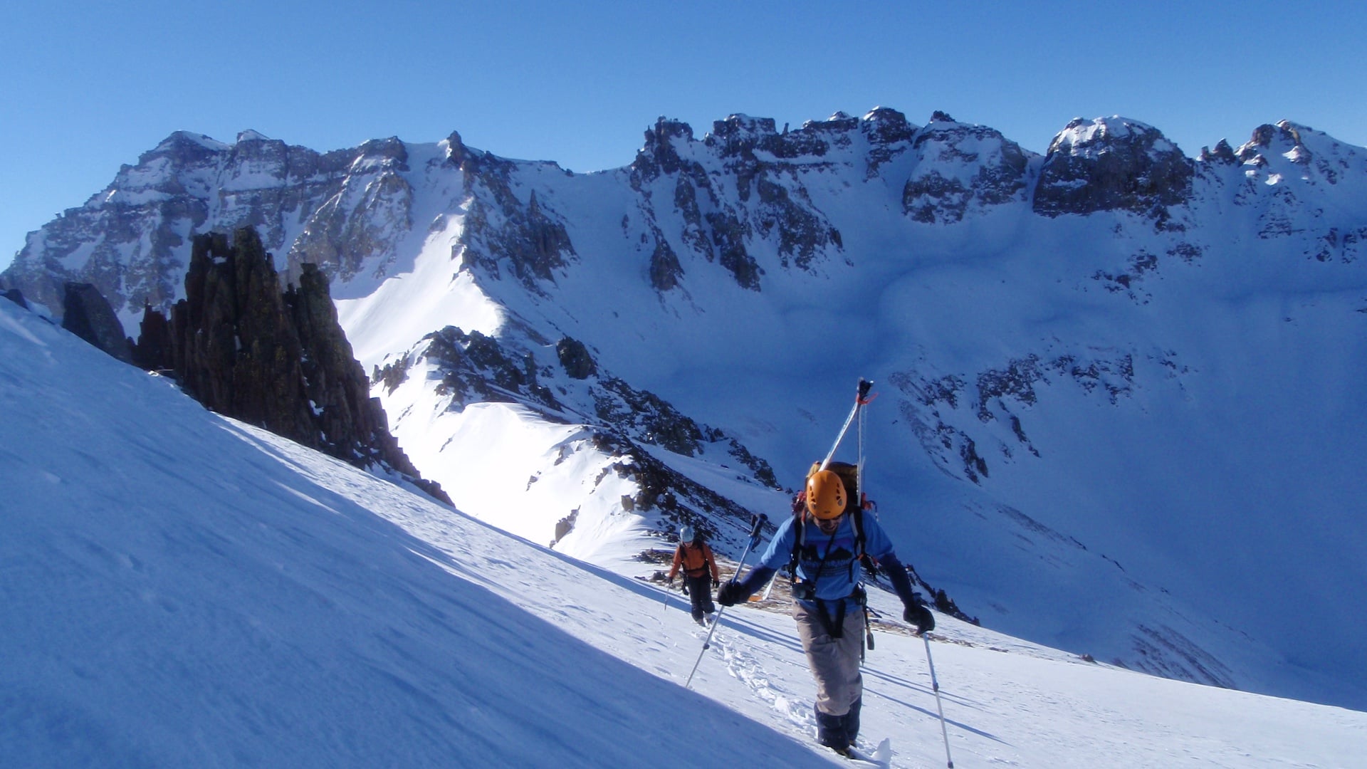
1. Terrain Traps
Because wet snow is incredibly dense and heavy (often called “concrete”), even a small slide can bury a person if it pushes them into a terrain trap.
- Gullies/Depressions: A small slide can fill a gully 10 feet deep.
- Cliffs: A minor sluff can easily knock a skier off balance and over a precipice.
- Trees: Being pinned against a “strainer” by heavy wet snow is a high-consequence scenario.
2. Mass and Momentum
In very steep or long paths, the “snowball effect” is literal. What starts as a handful of snow can grow into a mass of several tons by the time it reaches the bottom of a slope. If you are caught in the middle of a large wet loose slide, it is nearly impossible to swim or fight against the weight.
3. Timing and Aspect
The danger follows the sun.
- East faces: Risk peaks early morning.
- South/West faces: Risk peaks mid-to-late afternoon.
- Best Practice: If you are sinking past your ankles in “mushy” snow or seeing “rollerballs” (small natural snowballs rolling down the hill), it’s time to move to a cooler aspect or head home.
Summary of Warning Signs

Pro Tip: If the snow doesn’t freeze overnight (a “cloudy recovery”), the danger starts at a baseline of “High” the next morning because the snowpack never had a chance to regain its strength.