Exploration
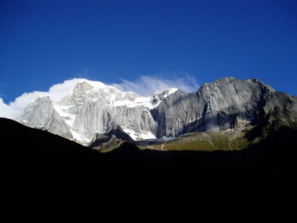
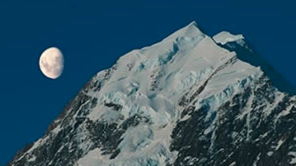
The Andes of Ecuador run as two parallel and impressive chains of peaks, rising dramatically from Pacific coastal lowlands on the west and even more abruptly from the Amazon Basin on the east. The flight into Ecuador gives you a grand view of the entire range as you cross the country’s northwest coast and pass over the Pichinchas, 15,700 ft volcanoes that stand right above Quito, then drop down to the capital’s new Mariscal Sucre International Airport (8528 ft / 2610 m). It is an exciting entrance into a spectacular country and beautiful city.
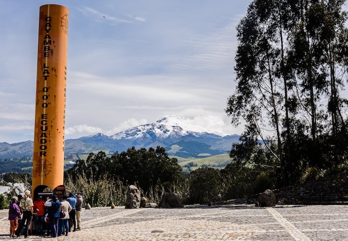
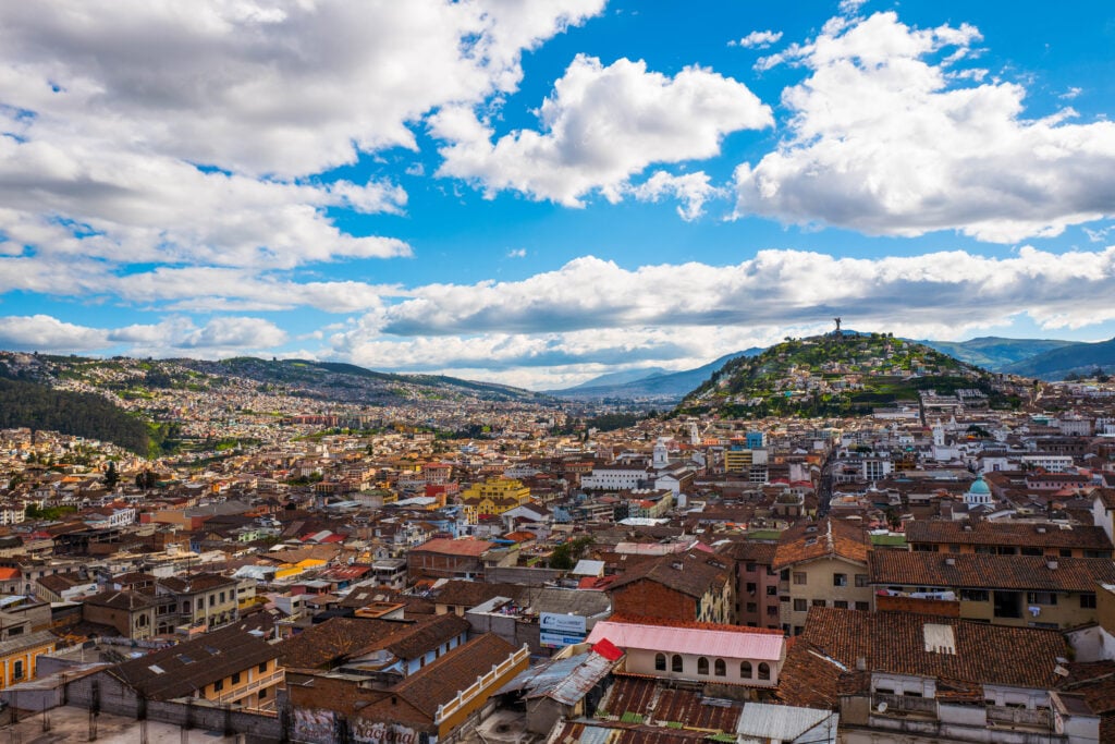
Quito, at 9,000 ft / 2,743 m, is South America’s second highest capital, and its high altitude allows you to begin your acclimatization as soon as you arrive. The city fills a gently sloping valley beneath thirteen to fifteen thousand-foot peaks, and from several points just above Quito it is possible to look up and down the “Avenue of the Volcanoes” and see most of the country’s major summits.
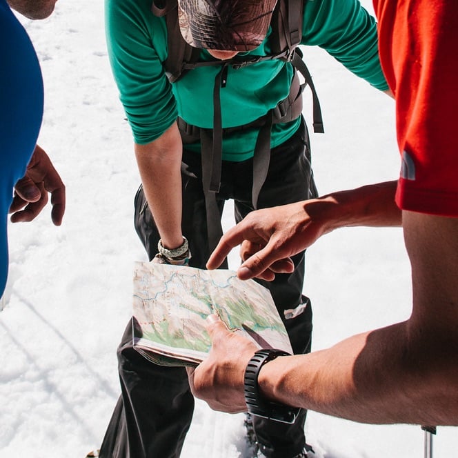
The program begins with climbing team members traveling to Ecuador on a Saturday and meeting their lead guide that first evening for dinner at 7 pm. The following morning, you will meet for breakfast and do an initial program orientation with your guide, followed by a thorough equipment check. After the orientation and equipment check, you will embark on a walking city tour of Quito.
Acclimatization Hikes and Skills Training
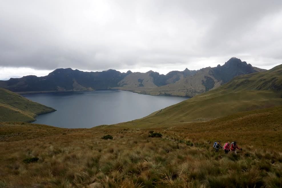
The first acclimatization hike is on Pasochoa (13,776 ft / 4,199 m), an extinct volcano about twenty miles south of Quito. Its large, eroded crater opens to the west, and its northwest flanks support a forest similar to those that once covered the entire Quito basin.
The second acclimatization hike is either on Rucu Pichincha (15,696 ft / 4,784 m) or Guagua Pichincha (15,695 ft / 4,783 m), depending on conditions. The primary goal of these acclimatization hikes is to give your bodies a chance to adjustment to the high altitudes, while also enjoying some beautiful hiking and outstanding views. The rocky ridges, high grasslands, and summits provide endless views of the entire cordillera and an excellent orientation to Ecuador’s geography.
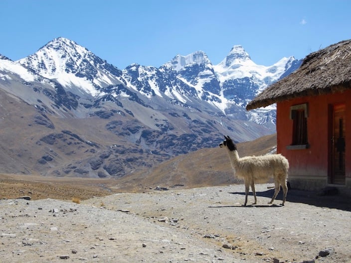
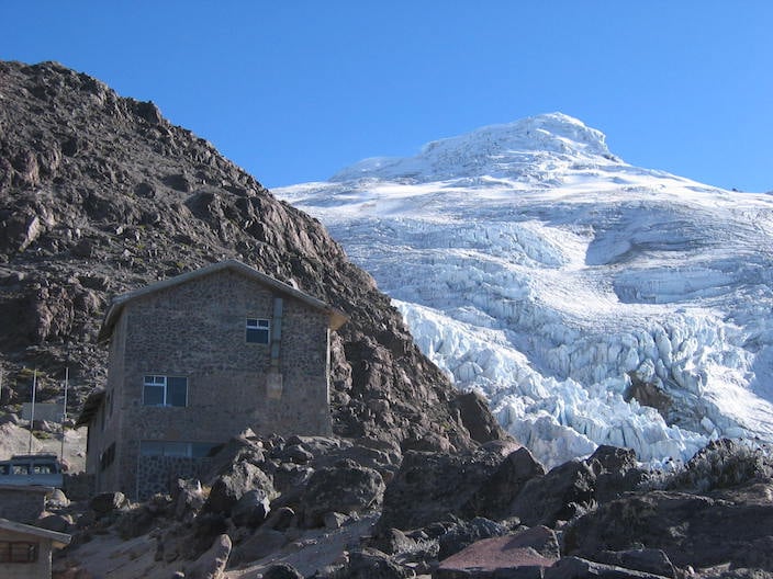
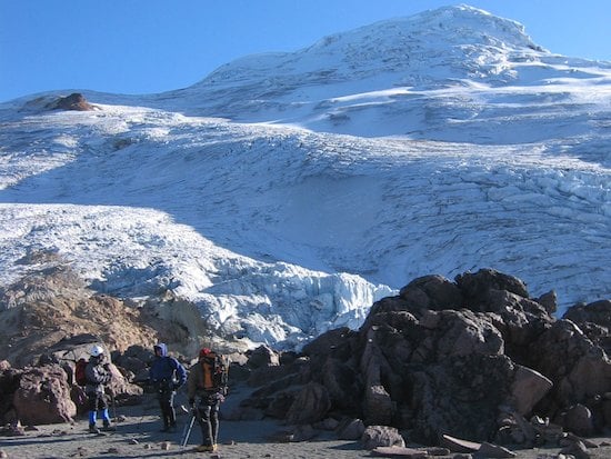
After spending at least 72 hours above 9,000 ft, you and your group members should be well acclimatized to begin sleeping and climbing at greater altitudes. The team will then drive north towards Cayambe. On this drive you will pass through high, rolling grasslands with wildflowers and occasional herds of sheep and llamas. Leaving paved roads, the track you follow passes several working haciendas, then steadily narrows and becomes more rugged as the road climbs higher and higher. Eventually, you will reach the parking spot which is within a half-hour hike of the Ruales Oleas Berge Refuge, which will serve as the base on the slopes of Cayambe at 15,290 ft.
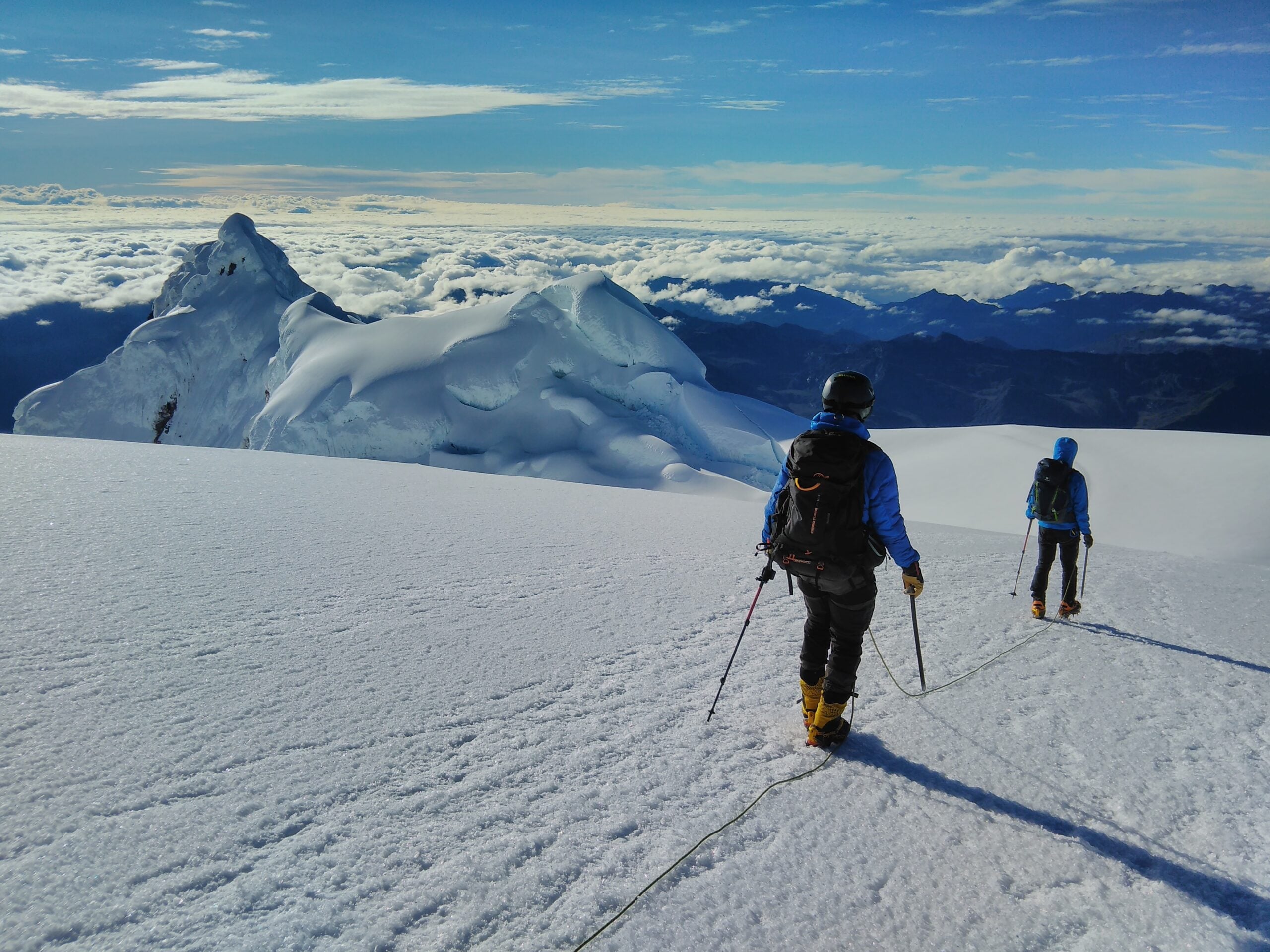
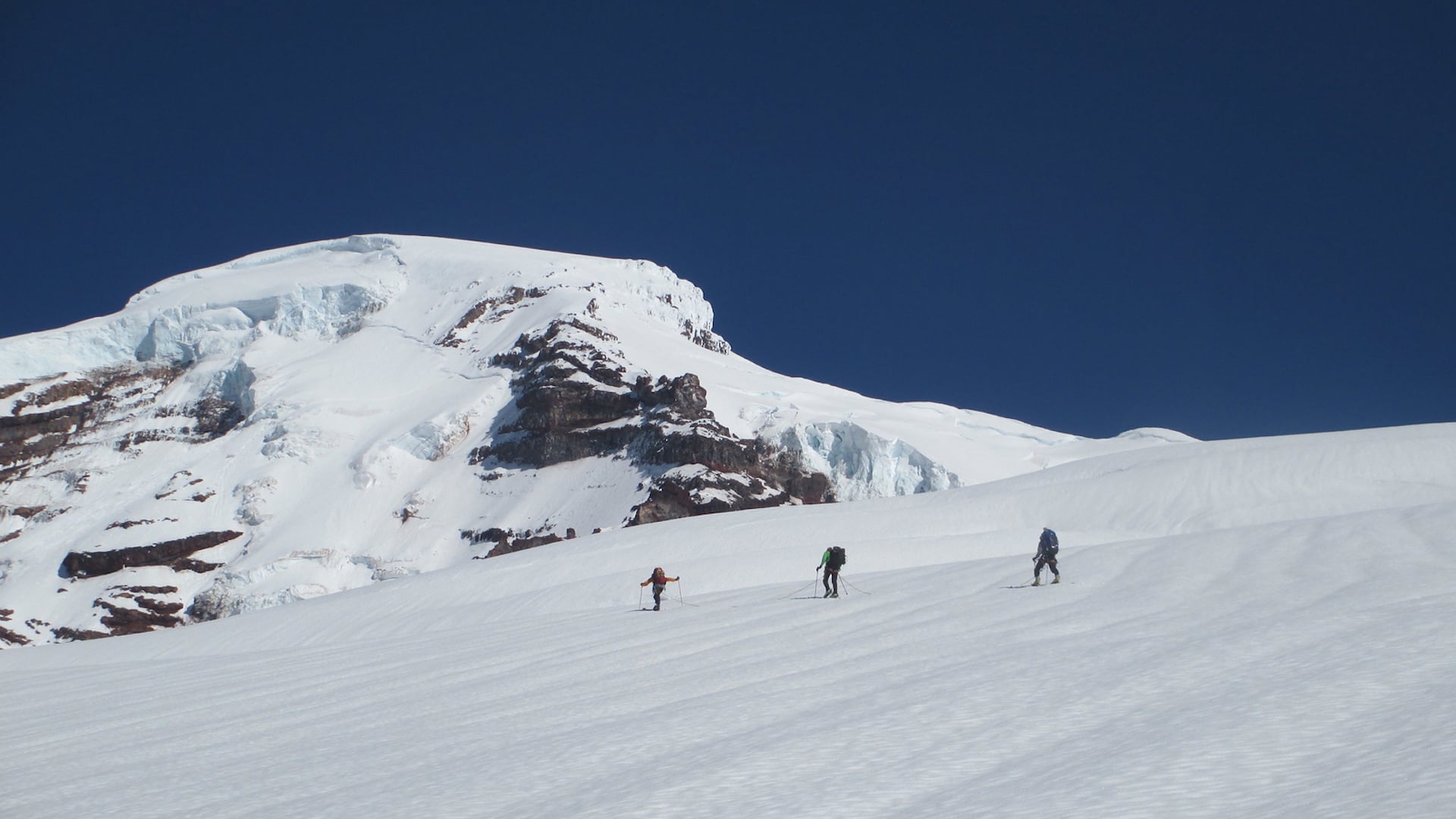
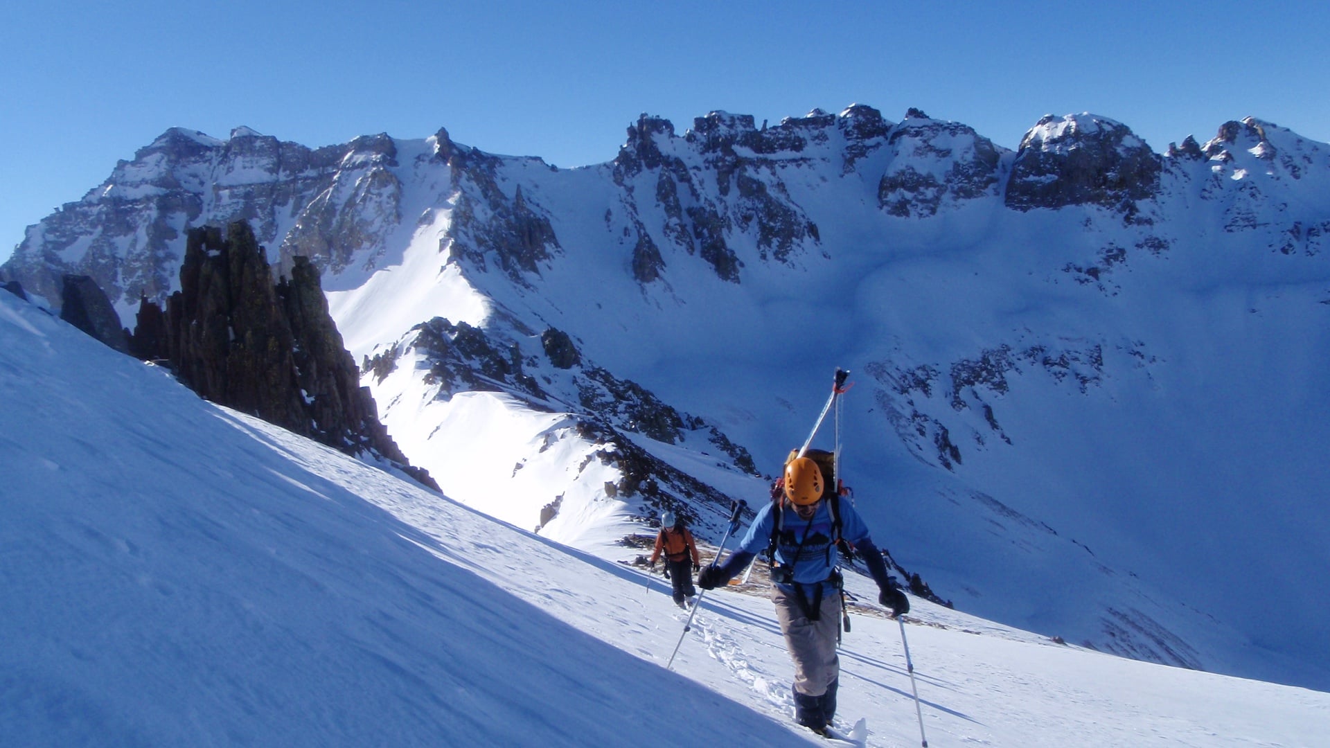
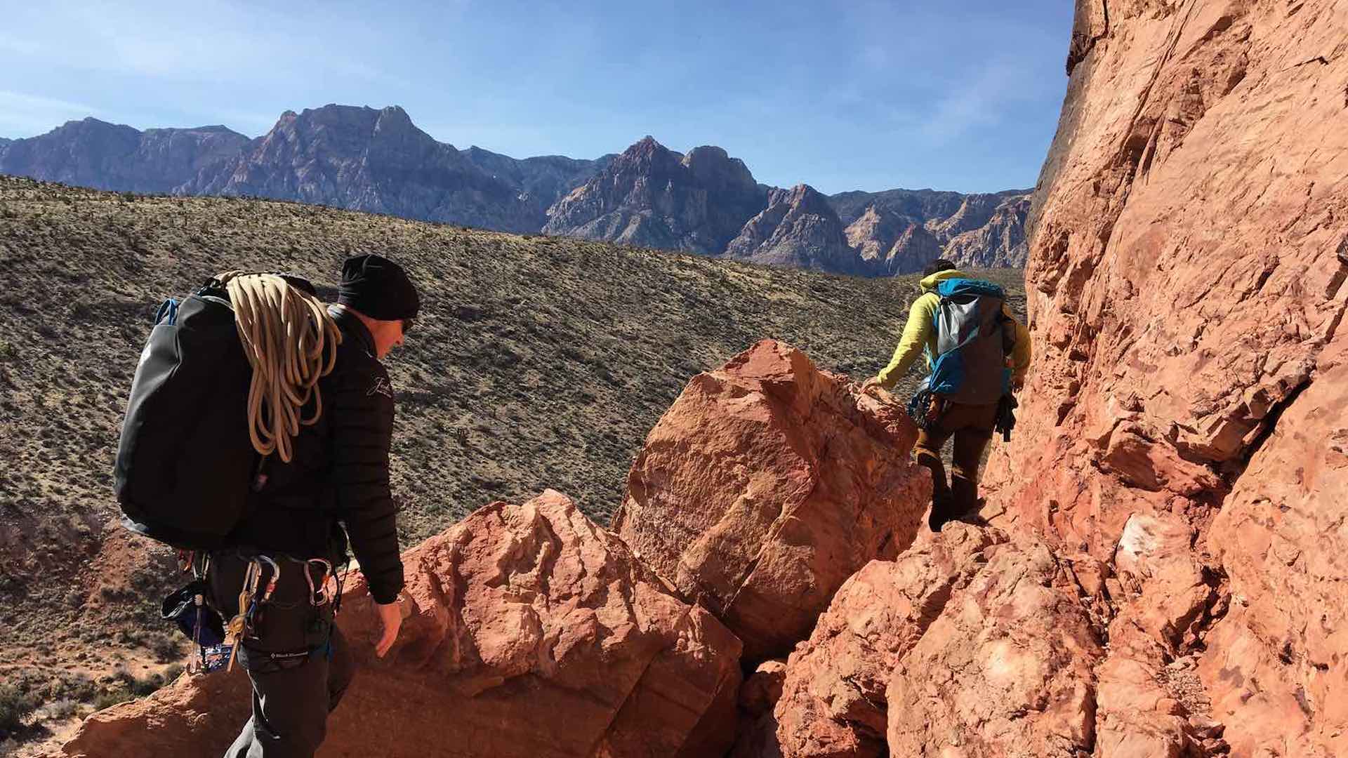
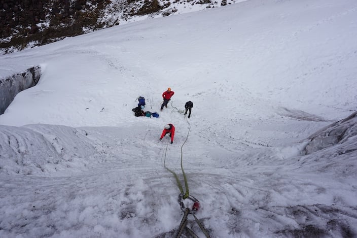
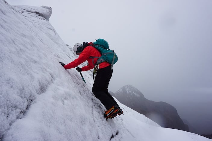
You and the team will continue your adjustment to the altitude, and spend the first afternoon and the following day on Cayambe doing moderate activity on a low section of the glacier. This is where you will work on roped glacier travel skills, protective systems, and other general procedures you will use during your Ecuadorian ascents. The route that you take on Cayambe is not technical, but it is complicated; the number and size of the crevasses make the ascent serious, the route finding interesting, and the climbing engaging.
During the skills training, you will cover the following subjects:
- Crampon technique
- Principal ice axe positions
- Roped glacier travel
- Self-arrest techniques (when snow conditions permit)
- Basic snow and ice climbing techniques for moderate angle mountaineering
- Discussion of high altitude physiology
Cayambe
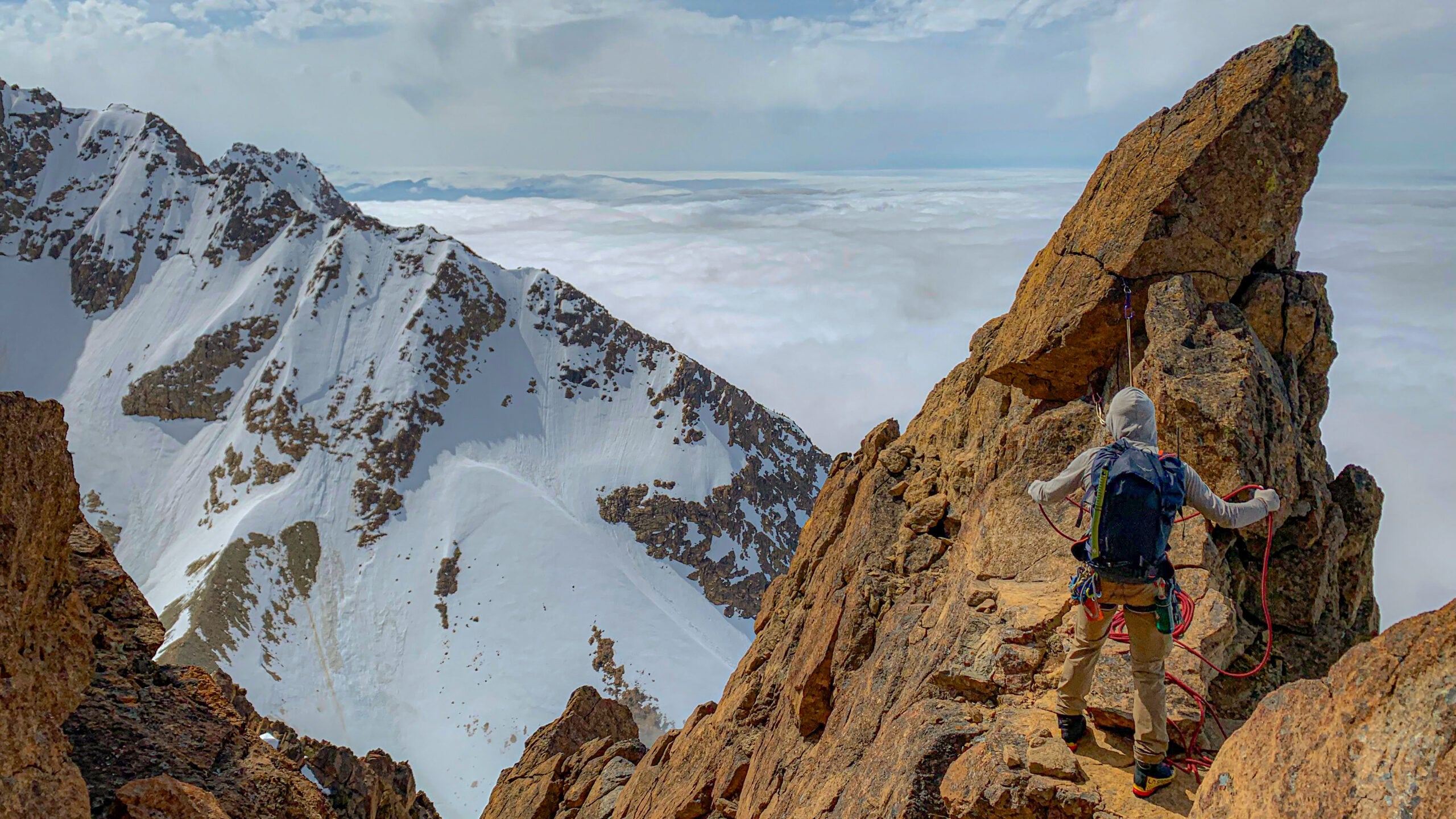
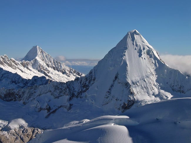
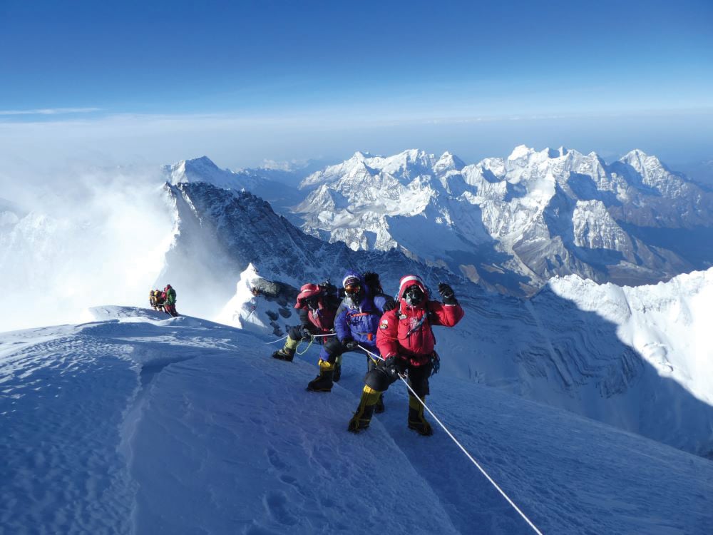
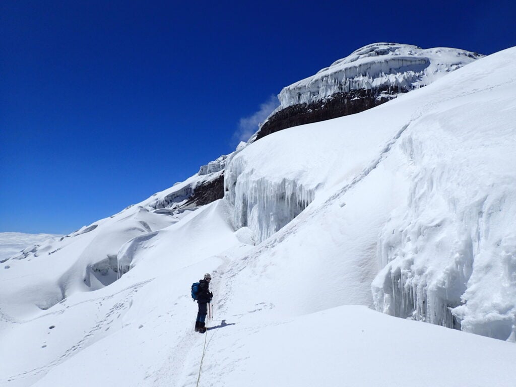
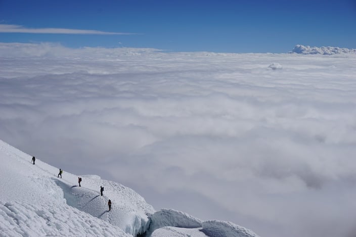
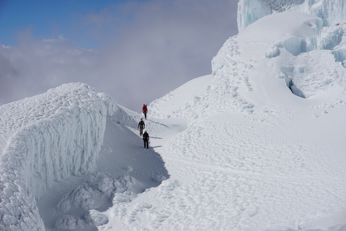
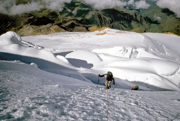
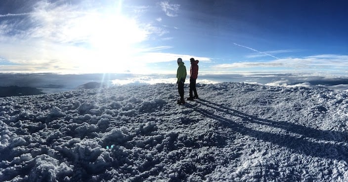
Cayambe is Ecuador’s third highest peak at 18,997. ft / 5,790 m. Forty miles northeast of Quito, Cayambe looks out over Reventador (“The Exploder”, one of South America’s most consistently active volcanoes) and the Amazon Basin. On summit day, you’ll leave before dawn in order to have firm snow conditions throughout the ascent. For the first four hours you will ascend an easy glacier climb to a saddle, and then continue onto steeper and more exciting ground. From there, you will traverse around large crevasses, many with enormous tropical icicles hanging from their edges, pass some spectacular seracs, and climb 35-degree slopes with occasional and short, steeper sections as you work your way to the crater rim. The final push to the summit follows a photogenic line along the glaciated edge of the volcano’s crater, a fittingly dramatic ending to an ascent that is varied and scenic throughout.
Cotopaxi
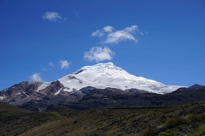
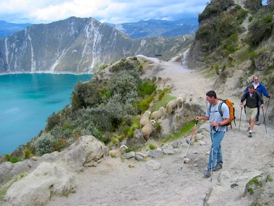
Cotopaxi, at 19,348 ft / 5,897 m, is the world highest active volcano and the second highest peak in Ecuador. It stands in Ecuador’s eastern cordillera, towering high above a small altiplano along with three other major peaks – Ruminahui (15,602 ft / 4,755 m), Sincholagua (16,360 ft / 4,986 m), and Quilindana (16,134 ft / 4,917 m) within the borders of the beautiful Cotopaxi National Park. Before entering the park, you will drive south from Cayambe and stop for a night of rest at a seventeenth-century hacienda, from which you may enjoy great mountain views of Illiniza Sur (17,268 ft / 5,263 m), Illiniza Norte (16,861 ft / 5,139 m), and Cotopaxi.
The next morning, you will leave the fertile and richly green central valley and drive east into Cotopaxi National Park. Along this drive you will travel through pine forests and then into drier, more open country as you ascend a rugged escarpment and finally reach a small altiplano beneath the park’s towering summits. As you make your way up and across the plain, you may see wild horses, llamas, and condors. In the 4×4 vehicle, you will be able to drive up to 15,100 ft, and from there you will have a 45 minute climb with full packs up to the Josa Ribas Hut on Cotopaxi’s flank at 15,729 ft.
On summit day, you will again leave long before dawn in order to have firm snow conditions. You first climb non-glaciated slopes and then ascend a series of uniform snow and ice ramps of 30-35 degrees to reach a glacial platform at 17,000 ft. As dawn approaches, you’ll enjoy one of the most spectacular color displays in the Andes. Almost every morning, the sun rises over a low trail of clouds which drifts in from the tropical forests of the Amazon Basin. As the sun moves further above the horizon, you may be treated to a magnificent array of colors in the clouds, on the multi-hued soils and rock faces of the parkland, and on the massive glacial slopes of Antisana (18,714 ft), which rises to our north.
From there, you will belay across occasional snow bridges, skirt large crevasses, and ascend moderate terrain and occasional short steep slopes towards the huge summit cone. You’ll then reach the base of the 400 ft rock wall that is called Yanasacha (which means “black wild place” in Quechua), and to its side encounter a gaping bergschrund at the base of the final glacial slopes that you must climb to reach the summit. You’ll traverse out to the far end of the bergschrund, make an easy descent to its floor, and then return to a point below your original position to reach a climbable section of its upper wall. A belayed ten-foot move on steep ice puts you on the 40-degree face, and from there you’ll belay up some of the most enjoyable snow and ice climbing pitches in Ecuador. The gradient eases off as you reach the crater rim, and from there it is an easy ten-minute climb to the summit. From the top you’ll enjoy views of nine major equatorial peaks, the seemingly limitless Amazon Basin to your east, and Cotopaxi’s spectacular 1,000 ft deep summit crater.
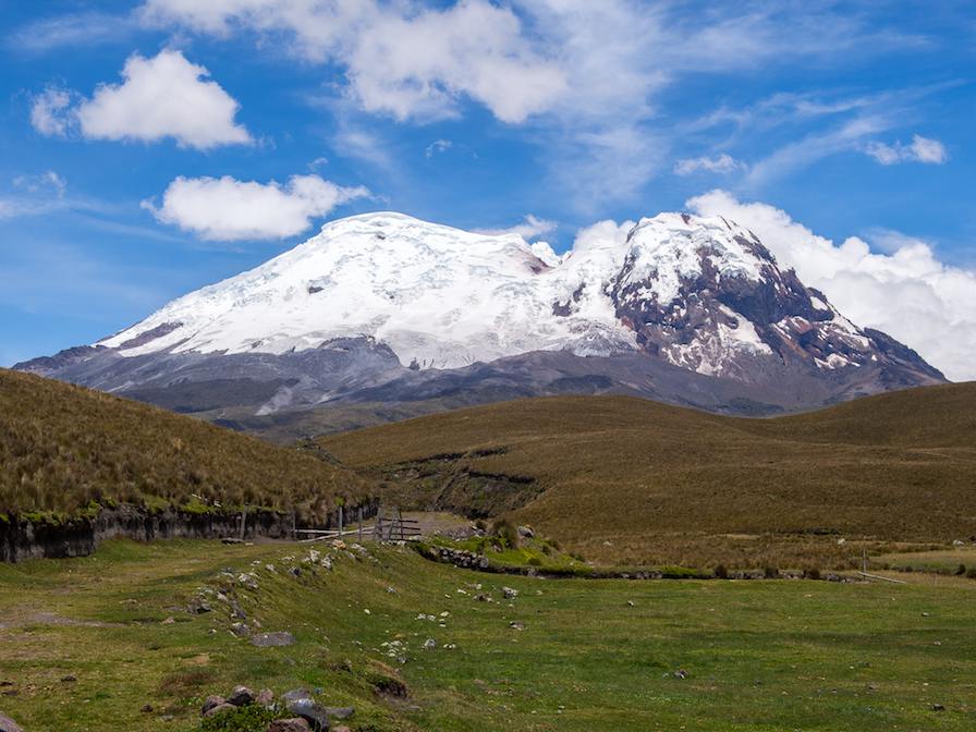
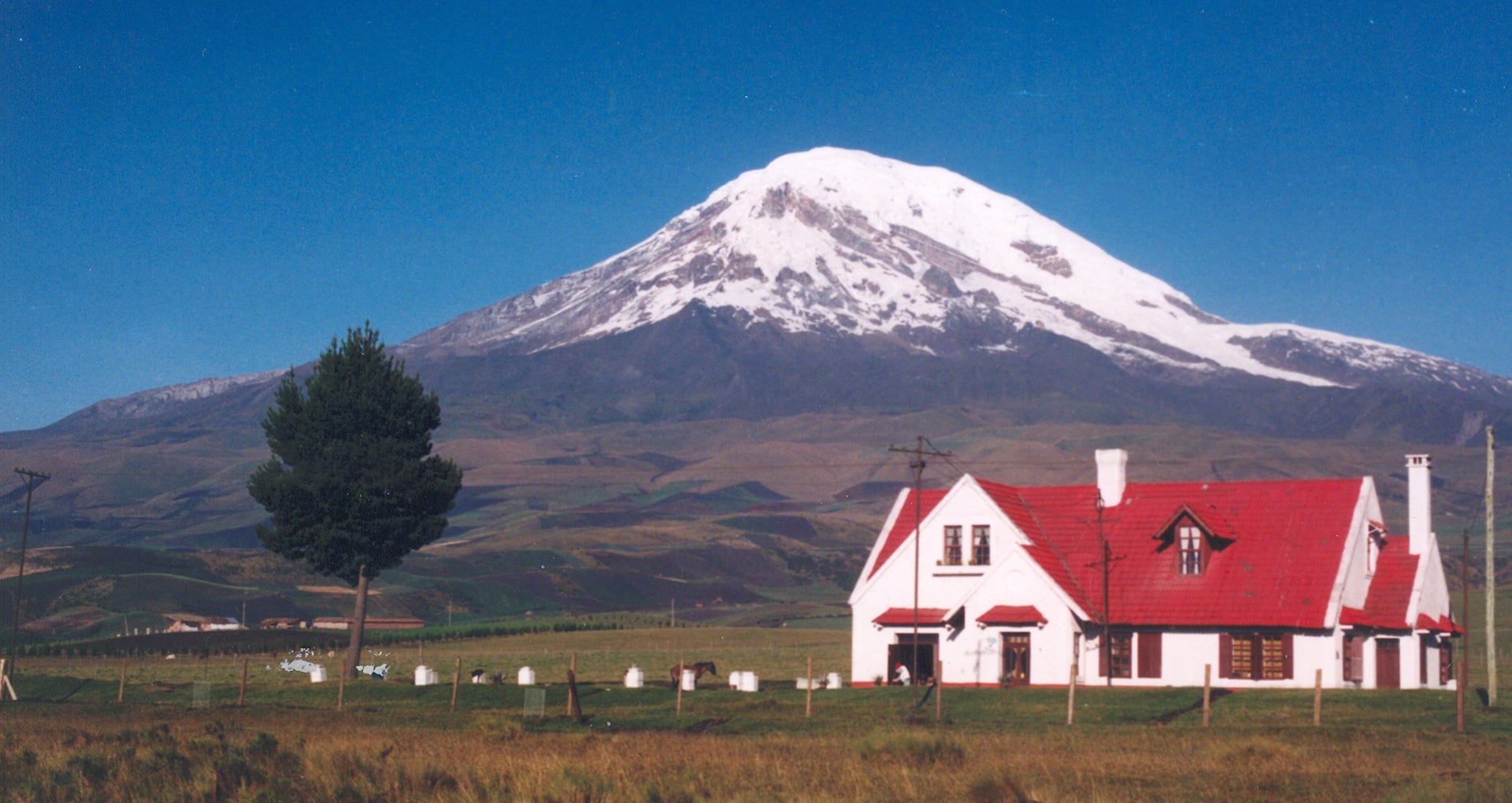
Many people wish to climb Chimborazo, the highest peak in Ecuador at 20,703 ft / 6,310 m, and a summit with the further distinction of being furthest from the center of the earth. (Because of the ellipsoid shape of the planet, Chimborazo’s location close to the Equator makes it “higher” by this measurement than Mt. Everest.)
Click on the link to learn more about the four-day extension to climb Chimborazo.


 Structure And Goals
 Trip Extensions