















Itinerary
Ptarmigan Traverse Itinerary
Please keep in mind that this is a standard, yet loose, itinerary. It is subject to change depending on conditions, weather, group dynamics, pace, and summit strategies.
Program Details
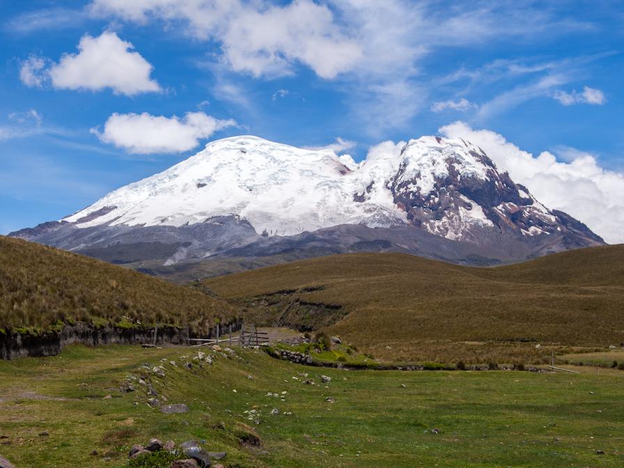
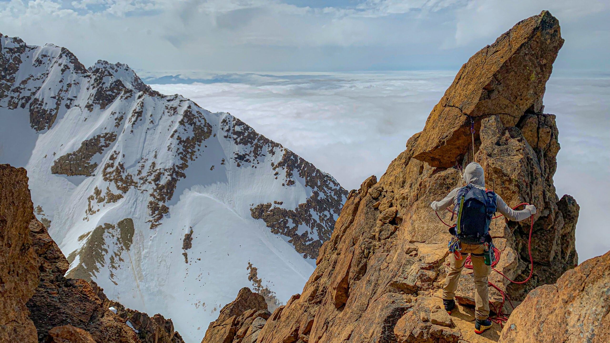
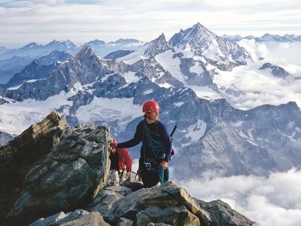
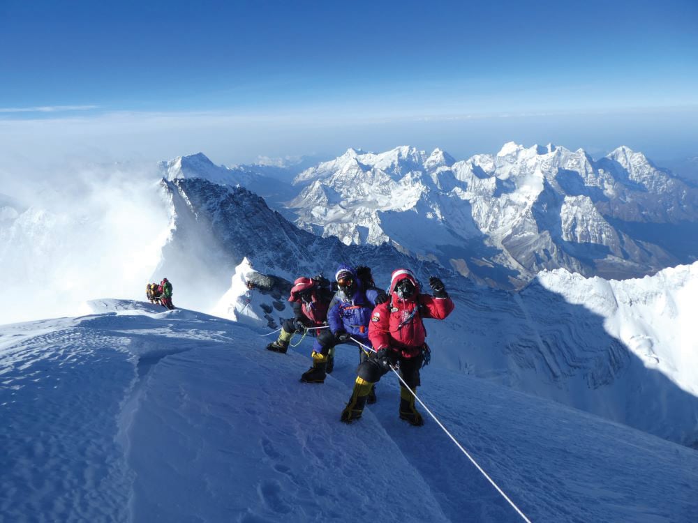
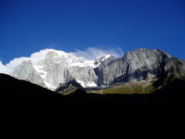
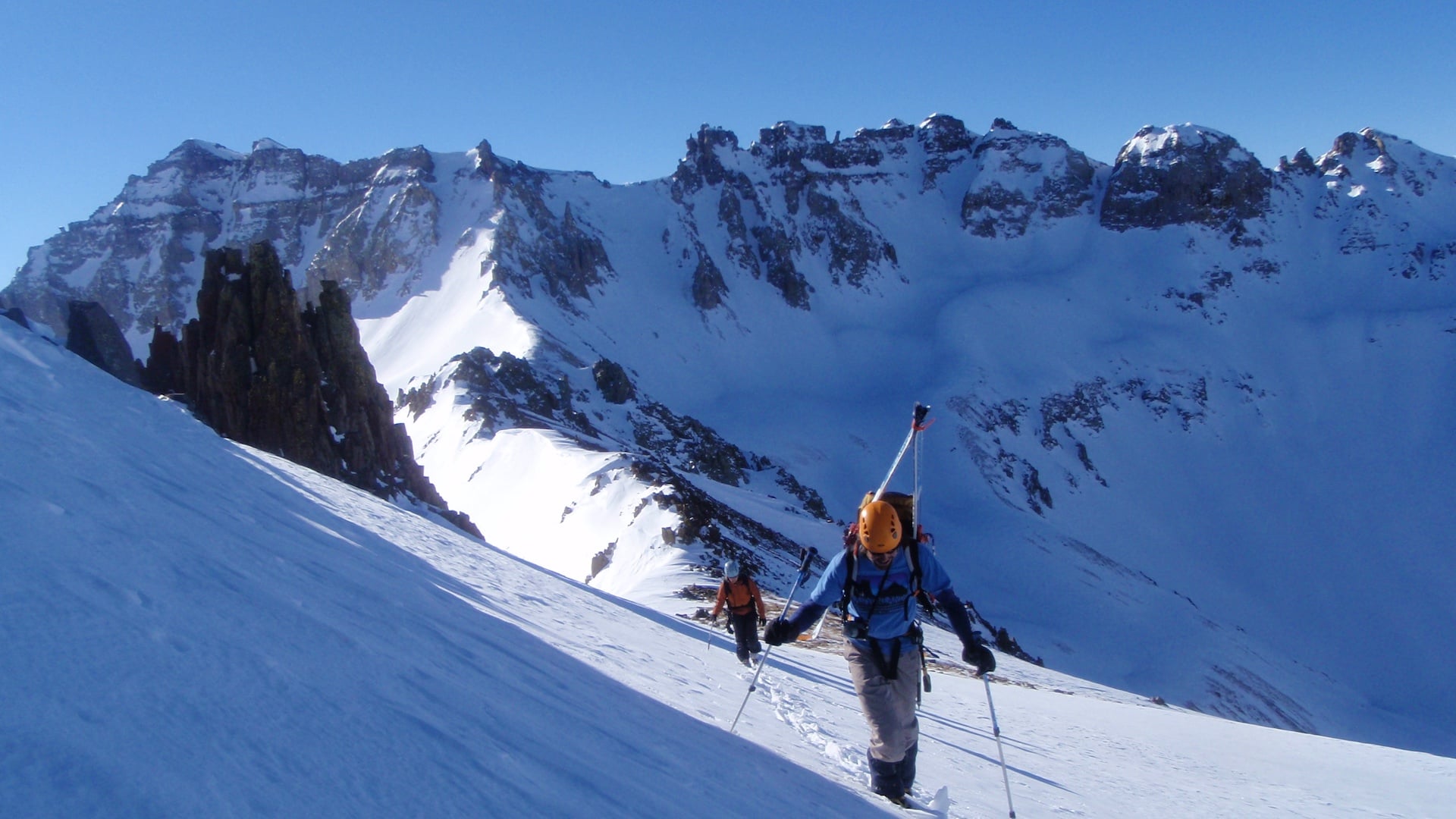
Considered by many to be the most scenic and varied alpine traverse in the country, the Ptarmigan Traverse route was built specifically for hardy climbers filled with a sense of adventure and in search of a sense of awe. Most AAI teams complete this route in five to seven days, crossing creeks, ridges, cirques, and glaciers between every camp. We often see goats and bears, we view distant peaks, we look for lines up massive rock walls and we stare awestruck at views of violent and complex icefalls. Most teams attempt a variety of mountains throughout the tour. Some of the peaks are simple detours, whereas others require a “day off” from the traverse. AAI teams regularly ascend a handful of mountains during the trip. Depending on time, parties ascend peaks like Magic Mountain, LeConte Peak, Sentinel Peak, Old Guard, Sinister Peak, Gunsight Peak, and Dome Peak.
Itinerary
Day 1
Cascade Pass Trailhead to Kool Aid Lake, 6-8 hours.
On the first day of the program, we will meet at 7am at the American Alpine Institute for a morning gear check. Once everything is complete, we will make our way to the trailhead approximately two hours from Bellingham. The Cascade Pass trailhead can be found at 3,600′ at the end of the Cascade River Road. From there, we will hike 3.7 miles on the well-maintained Cascade Pass trail up through 36 switchbacks to Cascade Pass at 5,400′. (Approximately 2 hours). At Cascade Pass, turn we will turn right 90 degrees and head south up the Mix-up Arm on a well-worn trail through the heather and talus. We will follow this trail to a rocky spur at 6,100′ and then drop onto the Cache Glacier. We’ll then make our way up to Cache Col, passing two side-by-side notches (Gunsight notch) on the right in Mix-Up Peak’s SW ridge. At Cache Col, there are campsites, but there is limited water and shelter from the wind. If we decided to climb Mix-Up Peak, we might stay here.
Day 2
Kool Aid Lake to Yang Yang Lake, 8-11 hours.
From here, we’ll descend 1–2 hours to Kool Aid Lake (6,120′) via heather, talus, and snowfields. From the lake, we’ll travel south toward the Red Ledges, a prominent red scar below Art’s Knoll. We’ll traverse the broad ledges (snow-covered in some conditions) before descending to Art’s Knoll meadows.
From there, we’ll follow the trail beneath small bluffs and cross gravel ribs and snowfields toward the Middle Cascade Glacier. We’ll enter the glacier above the icefall (6,400′) and climb to the upper basin (7,400′), staying left of center before traversing to the Spider/Formidable Col (7,320′). After inspecting the descent route, we’ll descend steep snow (up to 40+ degrees) and traverse granite benches beneath Mount Formidable toward Yang Yang Lakes. From the lower snowfield, we’ll pick up the trail to campsites on the southeast shore of the lakes.
Day 3
Yang Yang Lakes to White Rock Lakes, 7-11 hours.
From the southernmost lake, we’ll scramble southwest along worn tracks toward LeConte Pass (6,200′). We’ll contour beneath LeConte Mountain across heather, scree, and snowfields, with an optional ascent of the Northwest Ridge (Class 3/4 scramble) if conditions allow.
From the mountain’s base, we’ll traverse beneath a black buttress and climb the LeConte Glacier to the Sentinel-LeConte Saddle (7,800′), weaving through crevasses while staying right of center. We’ll descend gently along Sentinel’s west flank, crossing snow benches and talus ribs to the South Cascade Glacier (6,800′), then cross to Lizard Pass (6,600′).
From Lizard Pass, we’ll descend either a steep exposed trail or a moderate snow slope before traversing to the rock spur trail. We’ll continue down steep slabs to campsites on the south shore of the lake.
Day 4
Ascent of Sentinel Peak and Old Guard Peak
Day four has been set aside as a summit day. However, those who wish to take a day off to enjoy the mountains instead of climbing would be welcome to do so. From White Rock Lakes, we will work our way back to the LeConte Glacier, where we will make an ascent of the Southwest Ridge of Sentinel Peak. This line requires some low to mid-fifth class climbing with a little bit of steep snow. We will then descend to the LeConte Glacier, where we will make a second ascent. This will be of the east ridge of Old Guard Peak. Two pitches of mid-fifth class climbing will bring us to a classic summit in the heart of the Cascade Range.
Day 5
White Rock Lakes to Itswoot Ridge/Cub Lake, 8-12 Hours.
From White Rock Lakes, we’ll follow the trail southwest along the bench before descending into the West Fork Agnes Creek valley. We’ll cross snowfields and talus ribs, then ascend a snow and scree gully to the Dana Glacier. From the glacier, we’ll climb to a remote col (7,600′) requiring a short Class 3 scramble to access the Dome Glacier and Cub Lake basin.
We’ll descend and traverse across three gullies, then follow Itswoot Ridge downward, staying west of the ridge above Spire Creek. At 6,400′, we’ll reach campsites suitable for a Dome Peak attempt or continue another hour to Cub Lake.
Day 6
Ascent of Dome Peak
The sixth day has been set aside for another ascent. Most parties will climb Dome Peak, but Sinister and Gunsight Peaks are also options. If a party wants to focus on climbing in this excellent area, they may elect not to take Day Four off for climbing and to focus their climbing efforts here. The Dome Glacier Route is the most popular line on Dome, with thirty-five-degree glacier travel and a few third-class moves, but there are some other harder options on the South Face of the summit pyramid if there is interest in rock climbing.
Day 7
Itswoot Ridge/Cub Lake to Downy Creek Trailhead, 7-12 Hours.
From the ridge camp, we’ll follow the trail south toward Itswoot Lake. We’ll take the trail around the north shore of the lake, then up over the saddle at 6,000′ between the lake and Bachelor Creek (2-3 hours). Trail work was recently done, making the last 14+ miles relatively pleasant compared to years past. We’ll follow the trail down, paralleling the south side of Bachelor Creek. We’ll cross Bachelor Creek at 3,750′ via a log/rock hop and continue down the trail until we reach Downey Creek and the Six Mile camp at 2,420′ in 3-5 hours.
There are three ways to cross Bachelor Creek. We’ll either cross a high log (10′ above the creek); wade across in mid-thigh water; or walk across a small log dam 40′ above Downey Creek. Once we are across the creek, it is easy walking on 6.6 miles of maintained trail. (3 – 5 hours).