


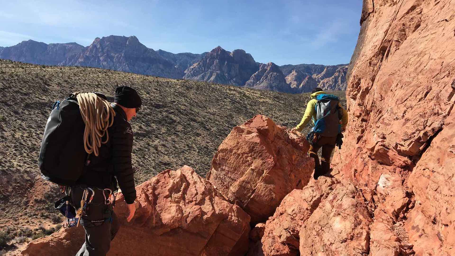


remote climbing zonse.
This summer I took a climbing trip to Kyrgyzstan with some fantastic climbing in mind. This is the story of my trip. My goal: “To climb and explore in a remote and spectacular range full of varying climates and fantastic peaks. Second, to attempt a summit bid of Khan Tengri, a majestic and technical mountain to climb, and the most northern 7000m peak in the world.”
If you’re not familiar with Kyrgyzstan it’s a country that gained its independence from the USSR in 1991. It’s a small mountainous country north and slightly east of Afghanistan. It’s truly in the heart of the Asian continent. In fact it’s further from the sea than any other country in the world and none of it’s rivers reach a sea or ocean.


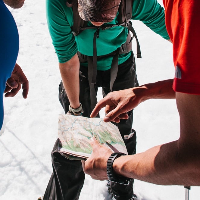
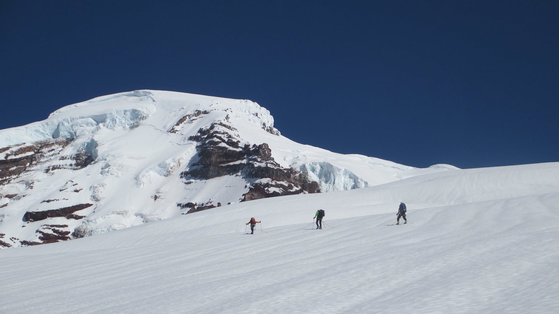
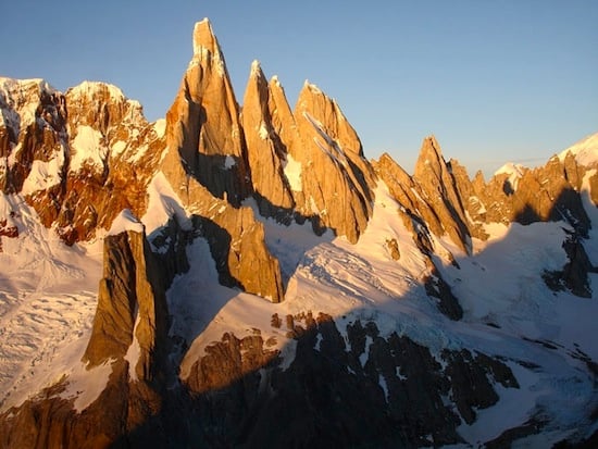
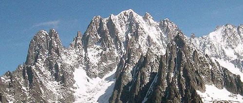
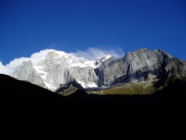
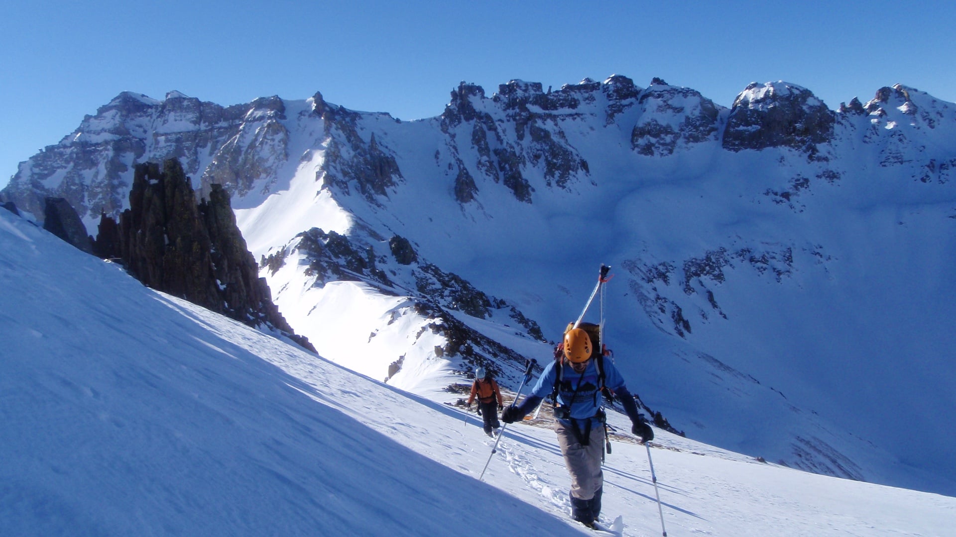
There were two segments to the trip. The first half of the trip we were climbing in the central range, and for the second half of the trip we moved North and East to the borders of Kazakhstan and China to set up base camp for Khan Tengri. The central range is made up of peaks that are all very technical and shear. The climbing was difficult to say the least. The type of rock and rock quality varied greatly and sometimes there would even be multiple types of rock on the same route. We definitely had to deal with some rock fall hazard and this was a great route finding experience for me. Going into a route with no beta changes the game dramatically. Thankfully, once we cleared loose rock and picked our lines the quality of the rock was usually pretty good. The storms and the snow were really the biggest challenges of the trip.

For the first several days in the region we could view the impending storms as they approached. Usually between 1pm and 4pm the strong and short-lived hail storms would come. I wore my hard-shell almost every day. Every objective required exploratory walks and with less than ideal snow conditions even exploration was tiring. The snow was soft and deep and definitely kept us climbing in the coldest hours possible. We would typically try to be coming down by 7am or 8am. It was a small window, but with advanced camps, we were able to summit all the peaks we attempted. Although all these peaks had no documented climbs, we found evidence of people on two peaks leaving us with two first ascents and these are how we classified the peaks we climbed.

- Un-named Peak, (4300m) Snow 50°-70°, III, 300m, (07/2013); first ascent.
- Un-named Peak, (4135m), 5th class, 5.6, III, 200m, (07/2013); found evidence of people at summit.
- Un-named Peak, (4280m), 5th class, 5.8, 3 Pitches, 150m, (07/2013); found evidence of people at summit.
- Un-named Peak, (4420m), Snow 40°-60°, III, 600m, (07/2013); first ascent.
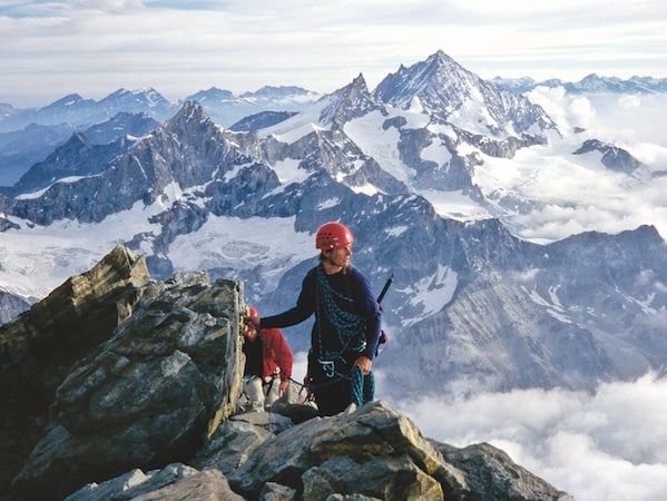
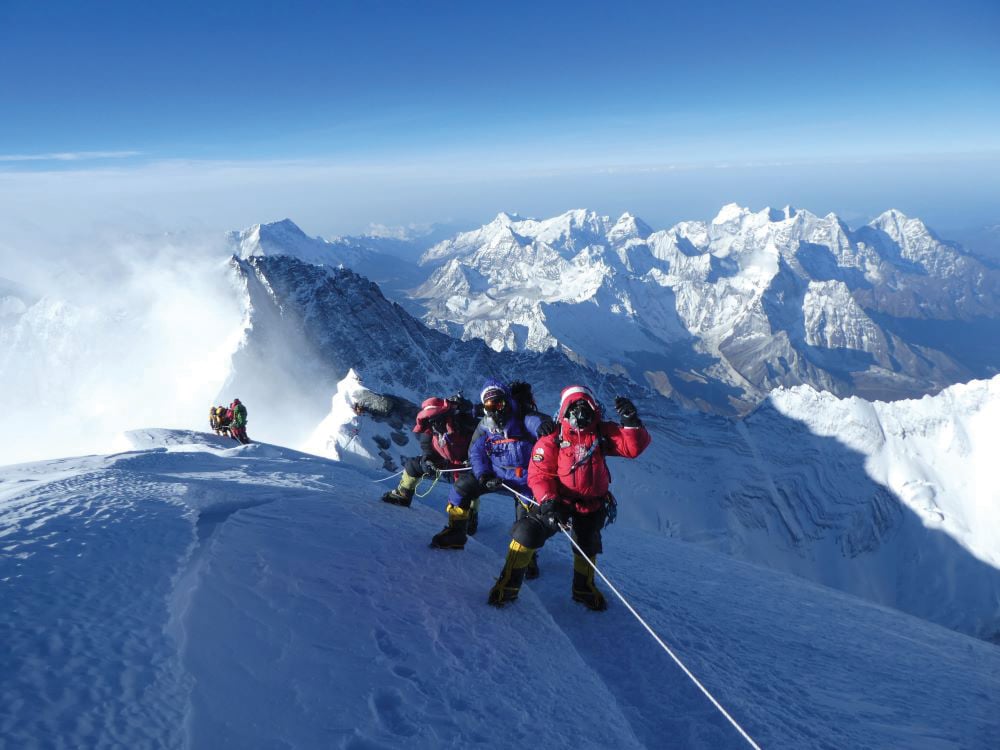
Khan Tengri was a little different experience we were getting more support in our attempt and thus had much more beta going into the climb. The altitudes supplied were still approximate and usually were off but we still had much more route information going into the climb.


I was able to climb to 5000m but started suffering from mild AMS. At that point I moved to a lower elevation and my condition improved pretty quickly. Unfortunately the weather did not improve. Other members of the team moved to Camp 2 at (5600m), they climbed a nearby peak Csepajer (6120m) and then moved to Camp 3 (5800m). I was anxiously watching their progress and waiting for the weather to improve thinking maybe I could make a move up to join them. However, the weather didn’t improve and the team got pinned down at Camp 3 with endless high winds and meters of snow falling daily all along the route from Base Camp all the way up the mountain.

The high volume of snow led to a super high risk for avalanches. It became very hazardous to either ascend or descend. Eventually the base camp manager pulled all the teams off the mountain and closed base camp 8 days ahead of schedule. As far as I know, only the three people setting ropes and a four-person team from the south side made the summit this season.

All in all it was an amazing trip. Taking all the skills I’ve developed in recent years, thanks in part to AAI, and putting them into play exploring entirely new routes was a dream come true for me. The weather was challenging and could have been better but that’s the nature of this sport and despite it all I was fortunate to find experienced climbing partners and to get some first ascents under my belt. This was an amazing trip to a remarkable region!
Submitted by: George Thomas
Edited by: Tim Page