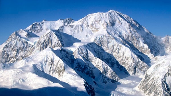
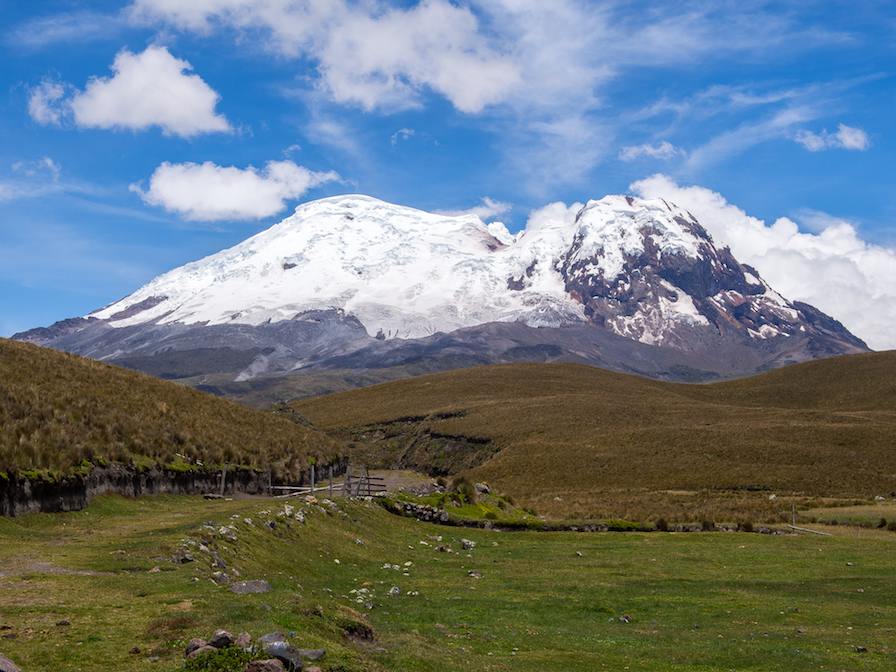
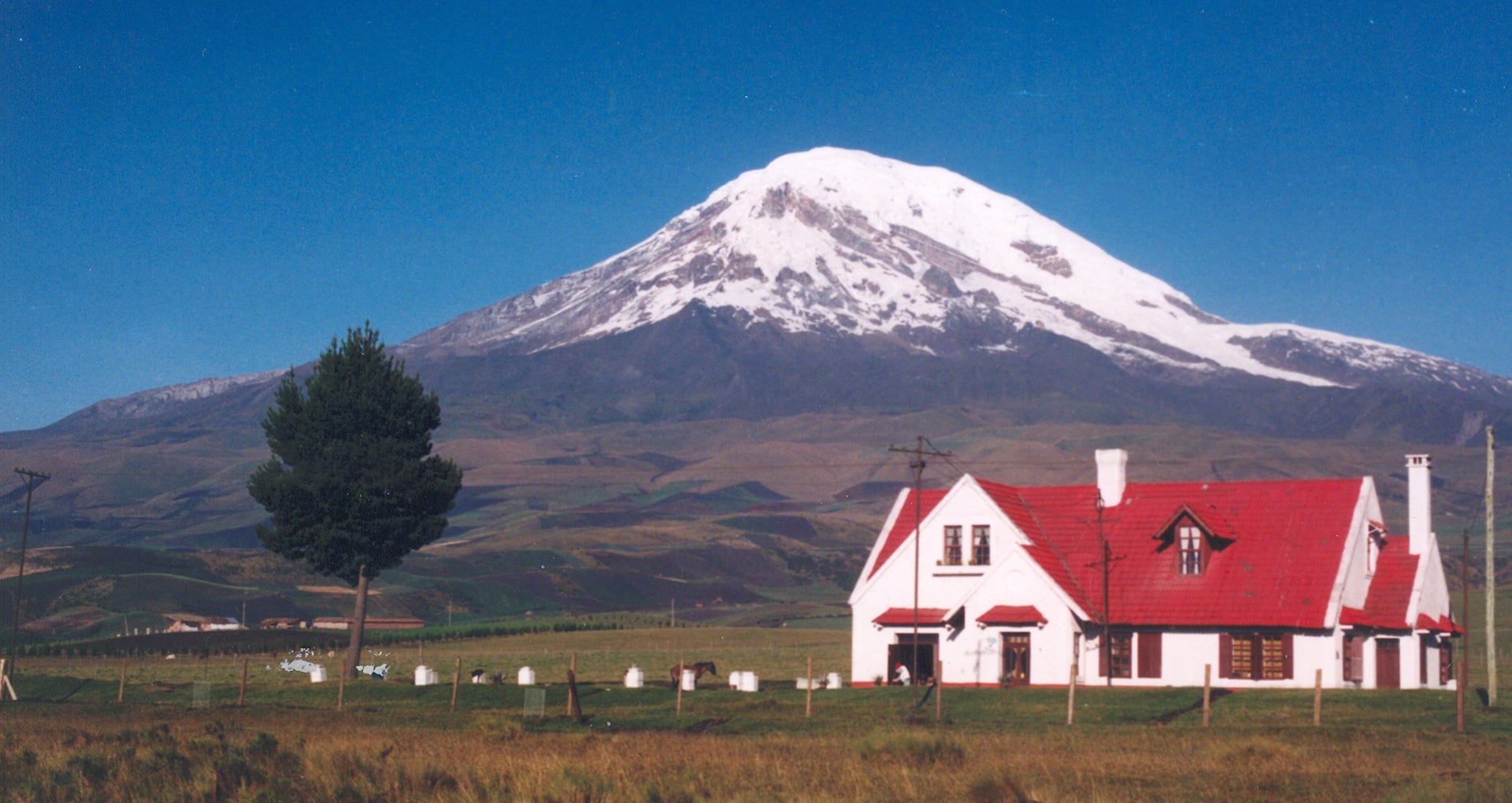
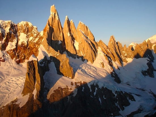
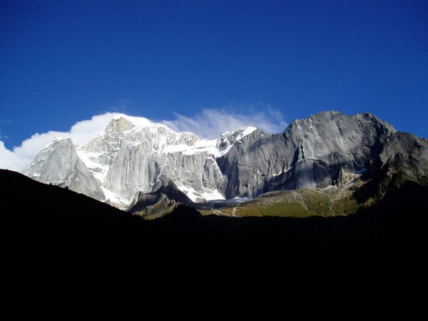
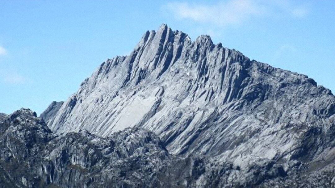
Chimborazo is Ecuador’s highest peak. It is a massive, five-summited mountain rising nearly 11,000-feet (3353m) above Ecuador’s central valley in the western of the country’s two parallel cordillera. It is visible from Colombia in the north, from near the Peruvian border in the south, and from far out on the Pacific Ocean. This is a very complex volcanic peak compared to most other peaks, and it offers a wide range of challenges to alpine climbers.
Routes On Chimborazo
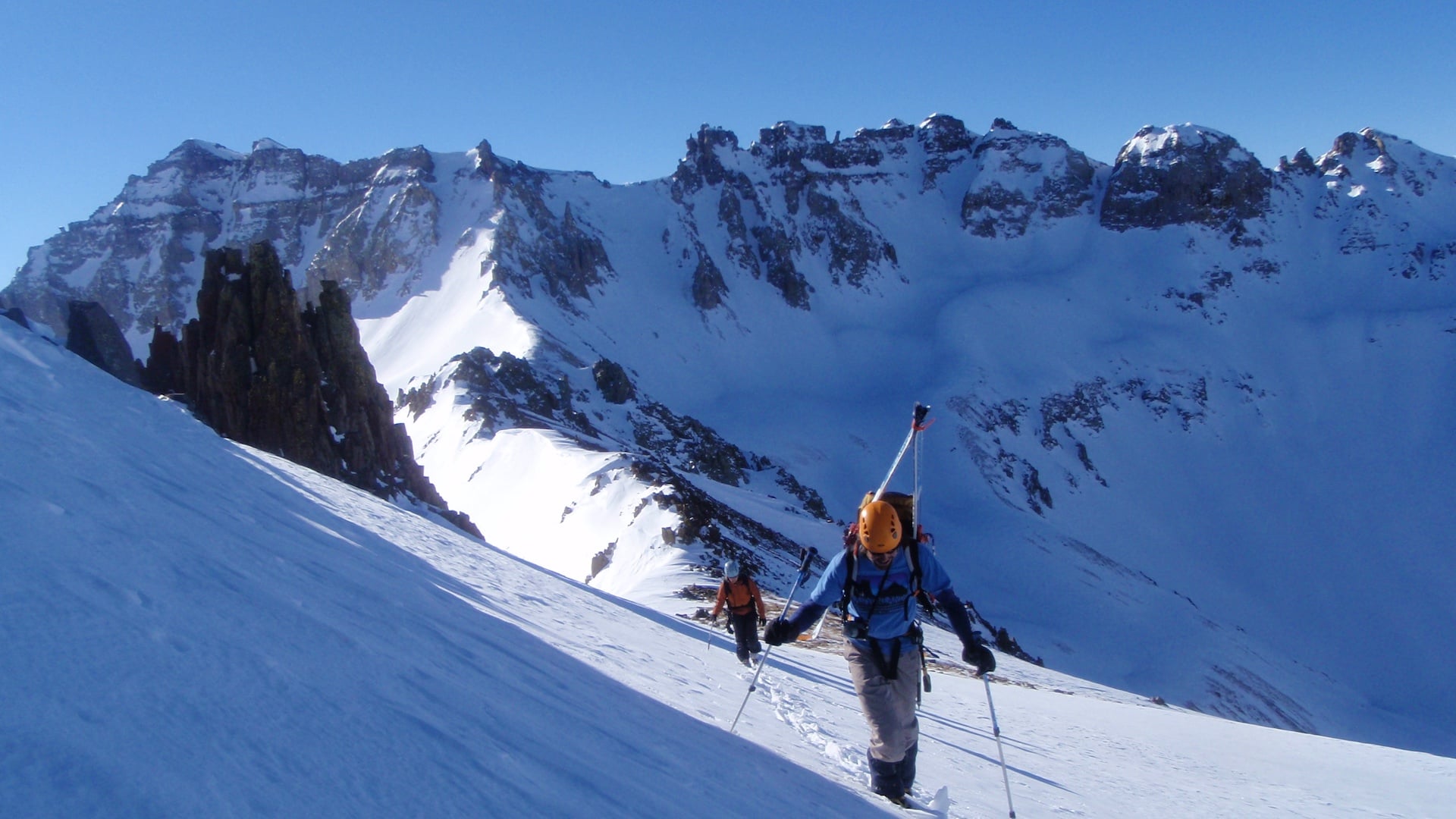
Almost everyone who has climbed Chimborazo has done so by one of four routes on the mountain’s southeast side – the Whymper Route, the South Ridge, the Thielman Glacier direct, and the Thielman Glacier approach to the South Ridge route (the last two routes were pioneered by AAI guides in the late 1970s). More recently those routes fell out of shape because of sequential seasons of low snowfall and warmer temperatures which combined to create rock fall issues. In that period AAI moved to the north face on another route that AAI guides established in 2007.
From 2011-2014 we returned to the southeast side of the mountain. Those routes were in better shape due to the snowfall over that period. Also, Tungurahua, an active volcano in Ecuador’s eastern cordillera, has been in an intermittent but fairly steady state of eruption for several years, and the ash that it has thrown into the atmosphere has been deposited in significant amounts on Chimborazo’s north face, accelerating snow melt and making the route extremely icy. With belays required on a large percentage of its many pitches, the north face is not currently a practical option.
However, climate change has continued to result in melting ice and poor conditions on the normal route on the southeast side. In 2014, AAI guides took part in a successful expedition to find a new safe route to the summit.
This new route, leaves from the Plaza Roja, near the Carrel Hut, and ascends for 3 hours to the high camp at 17,700 ft / 5,400 m. On this climb we employ porters to carry tents, water and food to camp, while climbers carry some group and personal gear.
Our Climb
After climbing Cotopaxi, you will return to a lodge for another refreshing night in the central valley (9, 000 ft/2750 m). The next morning you will drive up Chimborazo’s flank to reach a small lodge at 13,200 ft / 4,023 m. This lodge sits picturesquely on a grassy plain below Chimborazo and allows you to enjoy a relaxing day and take in views of the altiplano surrounding Chimborazo and nearby Carihuairazo (also known as Chimborazo’s Wife). The high elevation keeps your ongoing acclimatization robust and is another perfect intermediate step up from the central valley as you prepare to move to the hut on Chimborazo.
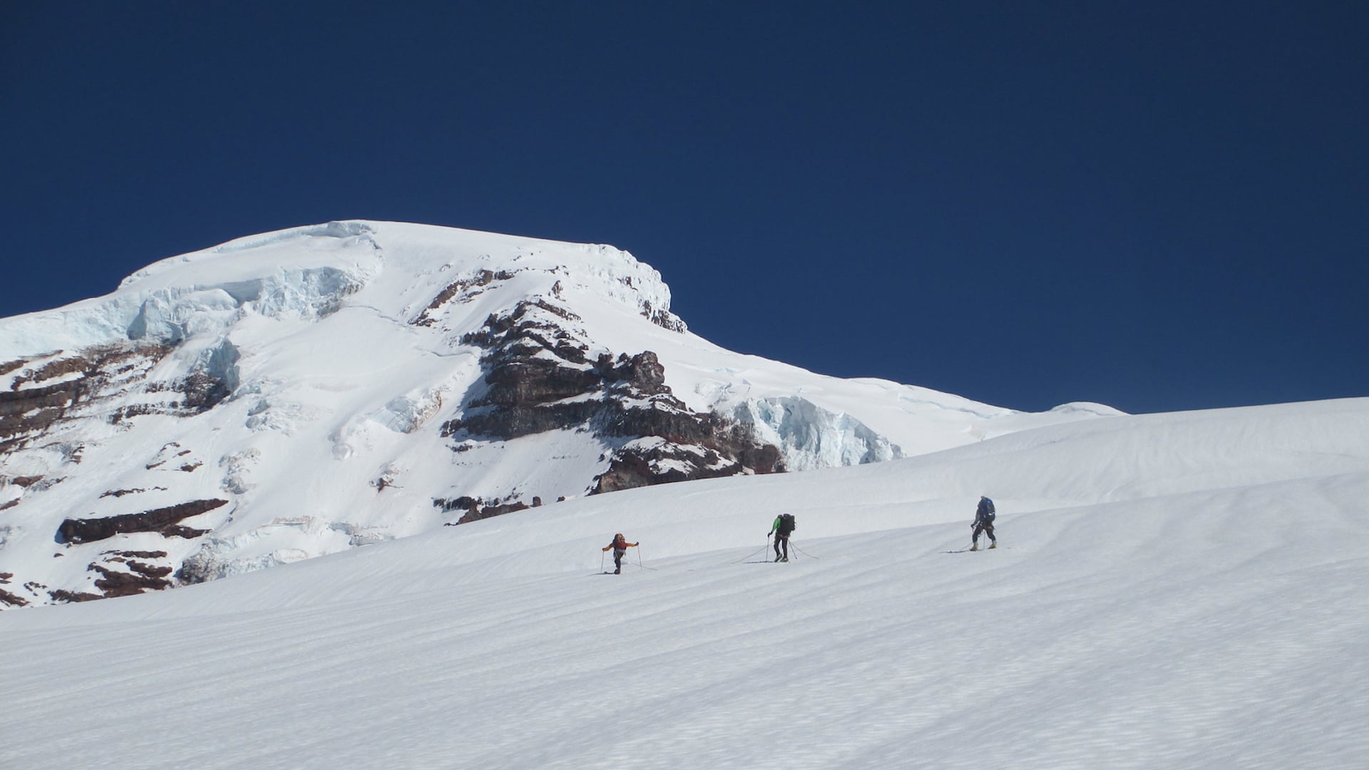
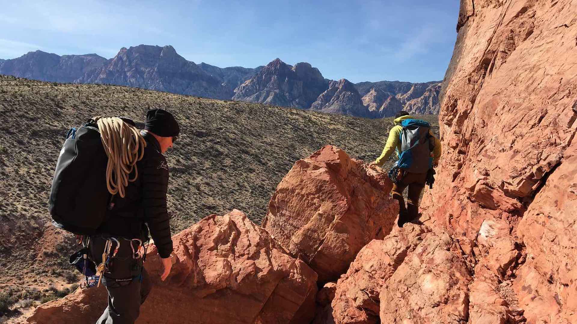
The next morning, you will make a short drive through grasslands to the south side of the mountain and then continue higher to the Plaza Roja (15,914ft/4,852m) located close to the Carrel hut. From there, it will take you about two hours to hike to camp at 17,700 ft / 5,400 m, where you will spend the afternoon preparing for the climb the next day. Climbers help carry equipment to camp, while porters carry the tents and water.
Seven days are normally spent at 15,250 ft / 4,630 m or higher prior to your ascent, and by this point climbers should be well acclimatized. Though it is a long climb, being adequately acclimatized will help increase the rate of summit success.
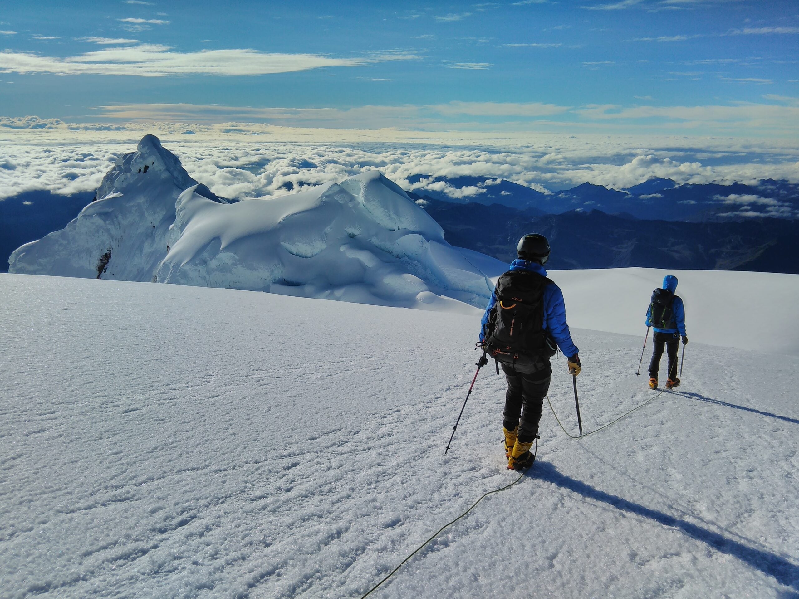
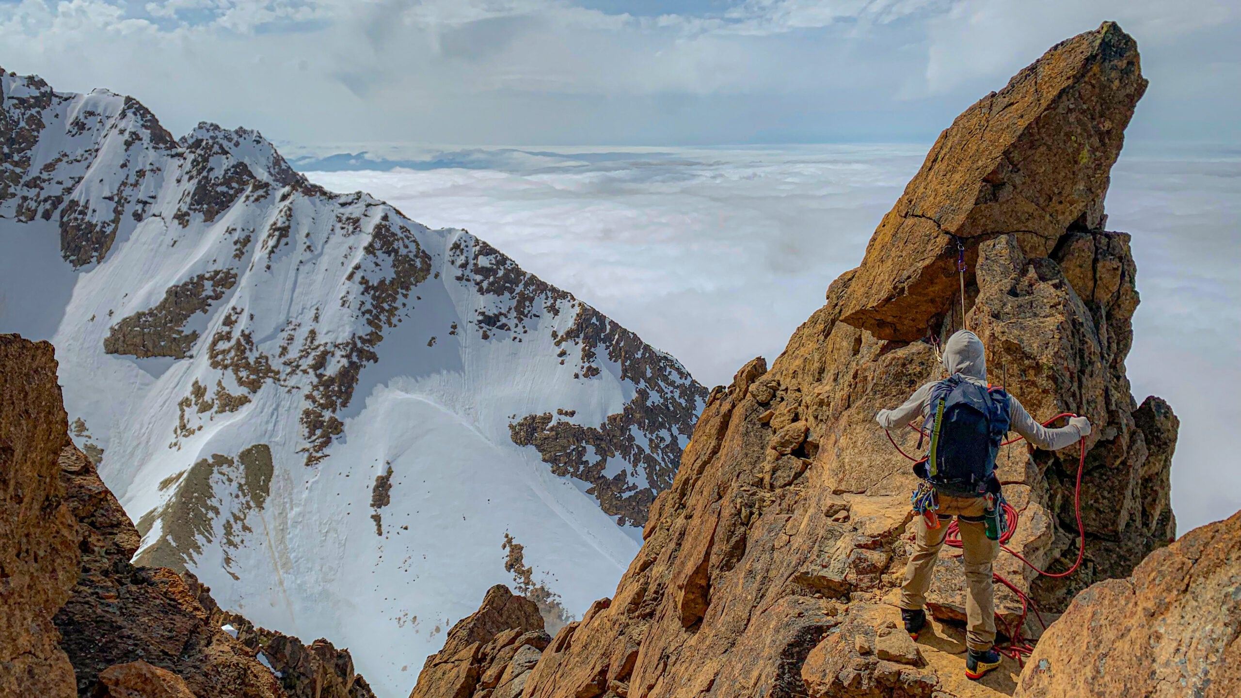
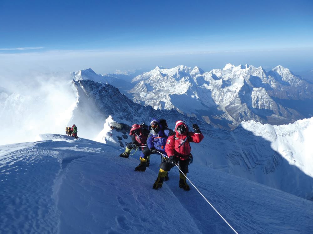
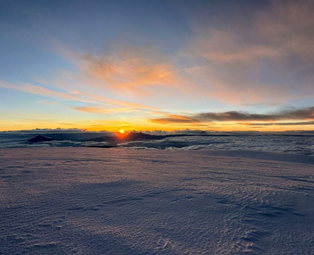
Summit day will start at midnight, and you will follow the Stübel glacier until it joins the Castle Saddle (18,044 ft / 5,500 m). This new variant to the normal Castle Ridge route, free from rock fall, makes it a much safer line to the top. From the Stübel Camp it normally takes six hours to get to the Whymper summit. By the time you reach 18,500 ft / 5,640 m, you will have surmounted most of the technical challenges on the mountain and the remainder of the route involves compact and moderately angled snow. The summit crater area is vast and normally covered entirely by soft snow or nieve penitentes.
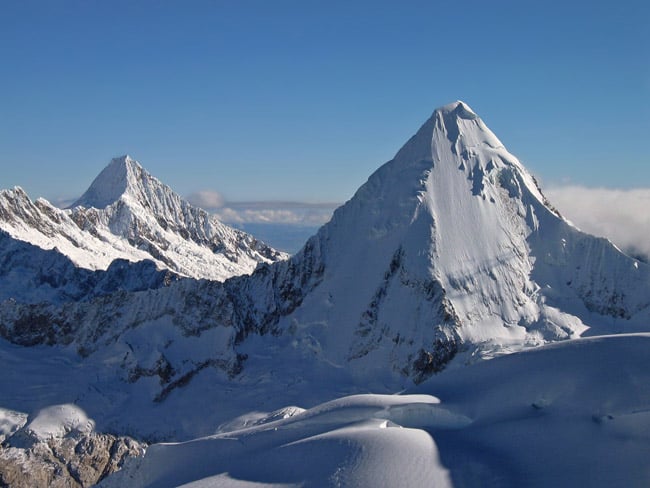
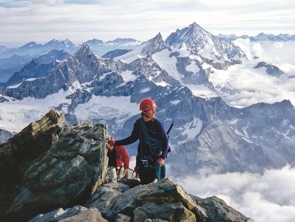
Chimborazo’s summit views encompass Ecuador’s many other glaciated peaks, and the views during the climb, the intricacy of the route, and the variety of moderate technical challenges encountered make this ascent of the world’s highest equatorial summit an important achievement for both developing and experienced alpine climbers.
The descent to the camp will take about two hours. After returning to the camp, you’ll pack up and descend to Plaza Roja, or you may stay another night if necessary. From there, you’ll head back to Quito, or if you have an extra day because good weather facilitates an ascent on the first of our two summit days, you will return to the central valley and then travel east, part way down one of the major routes to the Amazon Basin. There you will go to Baños, where the lush vegetation is home to an unusually large variety of orchids, butterflies, and hummingbirds. This is a dramatic contrast to the flora and fauna of the alpine zones where you’ve been travelling and climbing during the rest of the trip. Based in a comfortable hotel near waterfalls and natural hot baths, you’ll enjoy swimming, relaxing, and exploring the Rio Pastaza Canyon that flows to the Amazon. A bicycle descent of part of the canyon is also an option. On your final afternoon, the team will return to Quito and look forward to a final celebratory dinner!


 Course Structure
 Trip Extensions